Thailand hit by chilly mornings and stormy seas this weekend

Thailand braces for cooler mornings and rough seas as a weather system sweeps the country, bringing strong winds and thundershowers across several regions.
A moderate high-pressure system sweeping down from China continues to influence Thailand’s upper regions and the South China Sea. This system is delivering cool morning temperatures and strong winds, particularly across northeastern Thailand. Meanwhile, the northeast monsoon is stirring up thundershowers across the Gulf, South Thailand, and the Andaman Sea.
Meteorologists are urging residents in the upper parts of the country to take care of their health as temperatures drop and conditions fluctuate. The Thai Meteorological Department (TMD) has warned of moderate winds and waves across the seas, with offshore wave heights expected to reach up to 2 metres, higher during thundershowers. All marine vessels are advised to proceed with caution and avoid stormy areas.

The forecast from 6am today, November 15, to 6am tomorrow, November 16, is as follows:
In northern Thailand, morning temperatures have dropped by 1 to 2°C. Isolated thundershowers are forecast, especially in Mae Hong Son, Chiang Mai, Tak, and Kamphaeng Phet. The minimum temperatures range between 19 to 23°C, while maximums hit 31 to 34°C. On mountain tops, the mercury could plummet to a chilly 6 to 14°C. Easterly winds will blow at 10 to 15 km/hr.
The northeast will experience cool mornings and strong gusts, with temperatures between 16 to 20°C and daytime highs of 29 to 31°C. Mountain areas may see temperatures as low as 11 to 15°C. Winds from the northeast will range between 10 and 30 km/hr.
Central Thailand will also start off cool, with temperatures between 22 to 24°C and highs reaching 30 to 31°C. Winds are forecast from the northeast at 10 to 20 km/hr.


Eastern Thailand will remain breezy and cool in the morning, with temperatures from 19 to 23°C. Maximum temperatures range from 31 to 33°C, while waves are expected to reach about one metre near shore and up to two metres offshore, driven by northeasterly winds at 15 to 35 km/hr.
On the east coast of southern Thailand, isolated thundershowers are expected, particularly in Nakhon Si Thammarat, Phatthalung, and Songkhla. Temperatures will hover between 23 to 25°C, peaking at 30 to 33°C. Winds from Surat Thani northwards will be easterly at 15 to 35 km/hr, producing waves of 1 to 2 metres, higher during storms. South of Nakhon Si Thammarat, variable winds at 15 to 30 km/hr will stir seas to similar conditions.
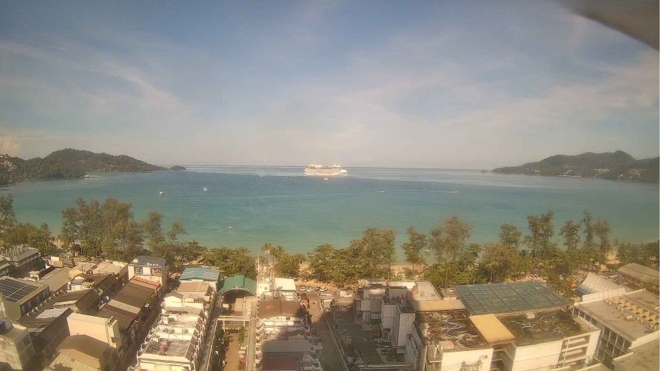
The west coast will see scattered thundershowers, especially in Phuket, Krabi, Trang, and Satun. Temperatures will stay between 23 to 24°C and reach highs of 31 to 33°C. In areas north of Krabi, easterly winds of 15 to 35 km/hr will generate waves around 1 metre near shore and up to 2 metres offshore during storms. South of Trang, variable winds at 15 to 30 km/hr will lead to slightly calmer but still potentially dangerous conditions.
In Bangkok and its metropolitan area, the skies will remain partly cloudy. Morning temperatures will fall between 22 to 24°C, with highs of 31 to 33°C. Winds from the east are expected to reach speeds of 10 to 20 km/hr.
Latest Thailand News


Follow The Thaiger on Google News: