Storms slam southern Thailand as seas rise and chill spreads
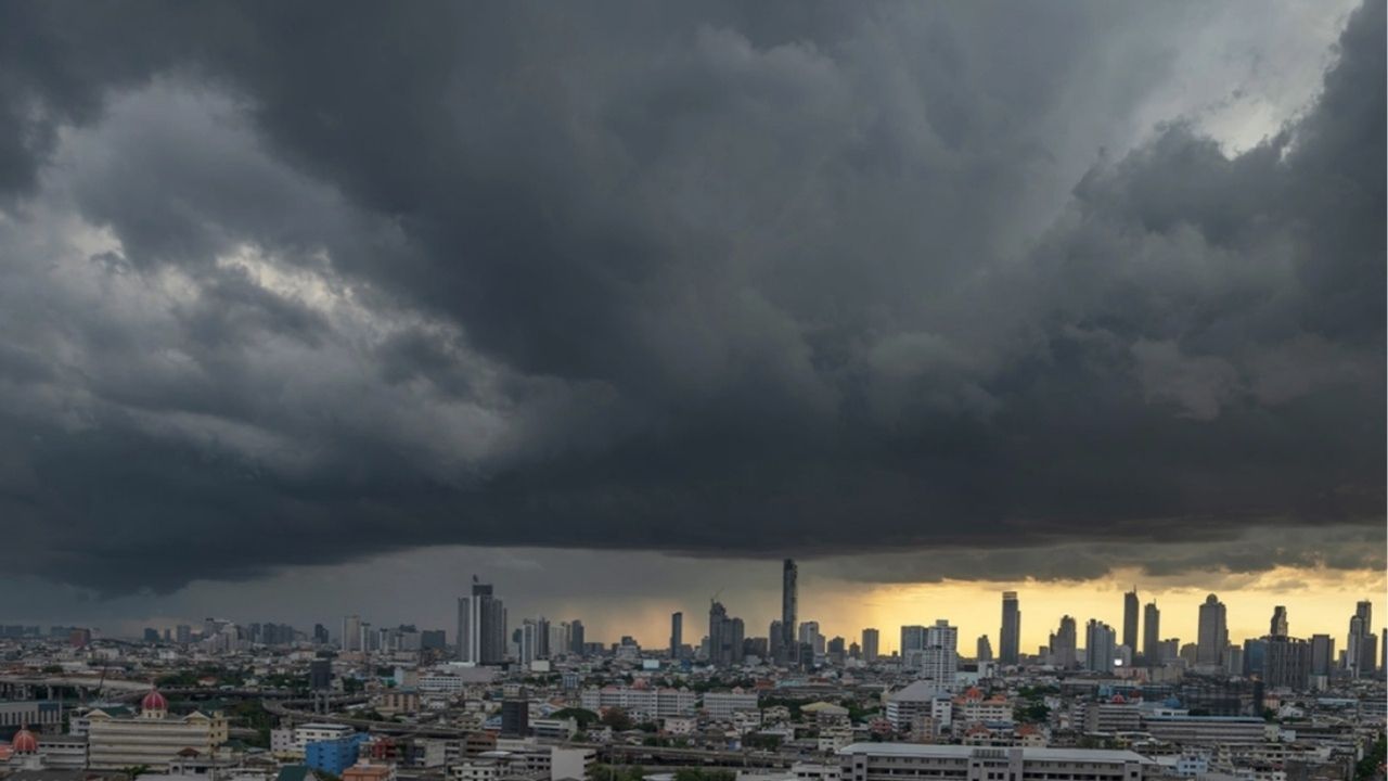
The Meteorological Department (TMD) has warned of worsening weather conditions across Thailand, with the lower south experiencing scattered heavy to isolated very heavy rainfall.
A strengthening northeast monsoon is also affecting the upper Gulf of Thailand, the upper south, and the upper Andaman Sea, contributing to increasingly severe weather.
Coastal regions along the Gulf can expect waves reaching 2 to 3 metres in height, with seas rising above 3 metres during thundershowers. Rough conditions have prompted warnings for small boats to remain ashore and for all marine traffic to avoid storm-affected areas.
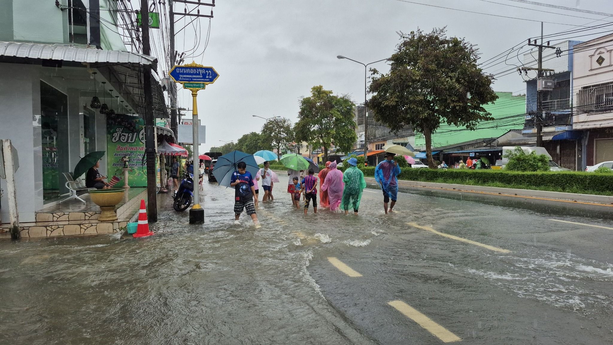
An active low-pressure cell continues to impact the lower south and parts of Malaysia, bringing heavy rainfall and hazardous marine conditions.
At the same time, a high-pressure system from China is advancing over upper Vietnam and is forecast to extend into northeast Thailand. This shift is expected to cause a noticeable drop in temperatures, stronger winds, and cooler weather across much of the country.
The forecast from 6am today, November 25, to 6am tomorrow, November 26, is as follows:
Northern Thailand can expect cool to cold conditions with temperatures dropping by 2 to 3°C. Minimum temperatures will range from 13 to 19°C, dipping to 5 to 16°C on mountain tops, with northeasterly winds at 10 to 20 km/h.


In the northeast, strong winds will accompany a 2 to 4°C drop. Expect lows of 15 to 20°C and highs between 28 to 29°C. On the region’s mountain peaks, temperatures could drop to 11°C.
Central and eastern Thailand will wake to cool mornings and gusty winds, with temperatures falling by 1 to 3°C. Minimums in the central region will be 19 to 21°C, rising to 28 to 30°C in the afternoon, while the east will see lows of 19 to 25°C and highs of 30 to 33°C. Waves offshore in the east could rise to 3 metres.
The south is bearing the brunt of the weather system. On the east coast, particularly in Phatthalung, Songkhla, Pattani, Yala and Narathiwat, widespread rain is expected, with possible flash flooding. Temperatures will range from 21 to 24°C, rising to 25 to 30°C. Waves could top 3 metres during storms.
The west coast will also experience heavy rain in Krabi, Trang and Satun. Sea levels will rise up to 2 metres, higher during thunderstorms.
Bangkok and its surroundings will feel cooler in the mornings with strong winds. Temperatures will range from 21 to 22°C, climbing to 30 to 33°C throughout the day, according to the TMD.
Latest Thailand News


Follow The Thaiger on Google News: