Chilly blast hits Thailand as monsoon brings storms south
A cold spell is sweeping across Thailand as a powerful high-pressure system brings strong winds, falling temperatures and stormy seas to several regions.
A strong high-pressure system from China is extending over upper Thailand, triggering a cold snap across the north, northeast, and parts of the south. Morning temperatures are dipping sharply, particularly in northern regions, where residents woke up to icy winds and a drop of 1 to 2°C.
The Meteorological Department (TMD) is advising people in these regions to stay warm and take care of their health. The combination of dry air and gusty winds also raises the risk of fires, while farmers are being urged to protect crops from the cold snap.
Meanwhile, the northeast monsoon is picking up over the Gulf of Thailand, the south, and the upper Andaman Sea. This is being compounded by a low-pressure system hovering over the lower Gulf, causing widespread thundershowers and isolated downpours, especially in southern provinces.
The forecast for 6am today, November 20, to 6am tomorrow, November 21, is as follows:
In northern Thailand, temperatures are expected to range from 14 to 21°C during the night and early morning, climbing to 23 to 29°C later in the day. Mountainous areas will be especially cold, with lows between 3 and 11°C. Winds are coming in from the northeast at 10 to 25 km/hr.
In the northeast, temperatures will drop to between 15 and 18°C at night and peak between 26 and 29°C during the day. Mountainous zones will see lows between 6 and 12°C. Winds are stronger here, blowing at 15 to 40 km/hr.


Central Thailand can expect cool conditions with strong winds. Temperatures will be between 19 and 21°C at night and rise to 26 to 29°C in the daytime, with winds at 10 to 35 km/hr.
In eastern Thailand, it will be cool in the mornings, with temperatures ranging from 19 to 22°C and highs of 28 to 30°C. Winds will reach 20 to 40 km/hr. Sea conditions will be choppy, with waves reaching 1 to 2 metres and over 2 metres offshore.
On the east coast in the south, provinces like Surat Thani, Songkhla, and Narathiwat are in for heavy to very heavy rainfall. Lows will range from 20 to 24°C, and highs will stay between 27 and 29°C. Winds will hit 20 to 40 km/hr, with waves reaching 2 to 3 metres, and over 3 metres in stormy areas. Small boats are advised to stay ashore.
On the west coast, provinces from Ranong to Satun will also face heavy rains. Expect minimum temperatures of 23 to 24°C and maximums of 27 to 31°C. Northeasterly winds will blow at 20 to 40 km/hr in northern areas and 20 to 35 km/hr further south. Offshore waves will range from 2 to 3 metres, and over 3 metres in stormy areas.
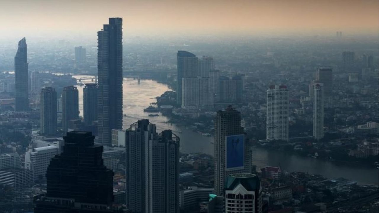
In Bangkok, residents can expect a cool start to the day, with minimum temperatures between 20 and 22°C, climbing to 29 to 31°C later on, according to the TMD.
Winds will be steady at 10 to 30 km/hr.
Latest Thailand News


Follow The Thaiger on Google News: