Pathum Thani residents warned of rising Chao Phraya River levels
River levels approach 2021 peak as dam discharge hits 2,800 cubic metres per second
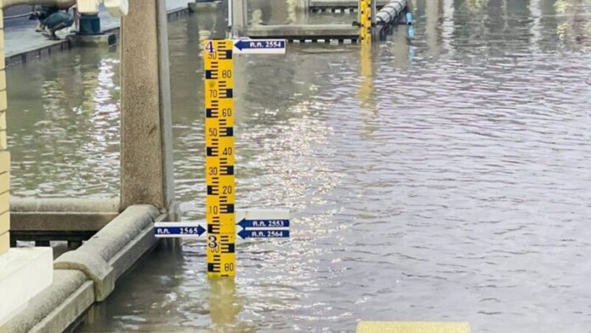
Residents in Pathum Thani were on alert this week following an official warning about rising water levels in the Chao Phraya River, with authorities reporting the river is now just 20 centimetres below its 2021 flood peak.
On November 9, the Department of Disaster Prevention and Mitigation (DDPM) issued an SMS alert stating that the Chao Phraya Dam was discharging water at 2,800 cubic metres per second. Combined with high tidal levels expected until November 14, this has increased the risk of flooding along low-lying riverside areas.
The alert covered districts in Pathum Thani and Nonthaburi, including Mueang, Sam Khok, Pak Kret, and surrounding areas. Authorities advised residents near the Chao Phraya River and nearby canals to prepare for rising water, avoid flood-prone underpasses, and report any irregularities in flood barriers to local officials.
Following the alert, residents in Pathum Thani gathered to inspect the river’s condition near Theppathum Chaloem Phra Kiat riverside park in Bang Prok subdistrict. Water levels were seen nearing the top of the walkway. Another 20 centimetres would match levels recorded during severe flooding in 2021.
Pathum Thani Provincial Administration Organisation (PAO) President Pol. Lt. Gen. Kamronwit Thoopkrachang, together with Vice President Nopporn Khawkham and Rangsit City Mayor Pol. Capt. Dr. Trilup Thoopkrachang, conducted riverside inspections.
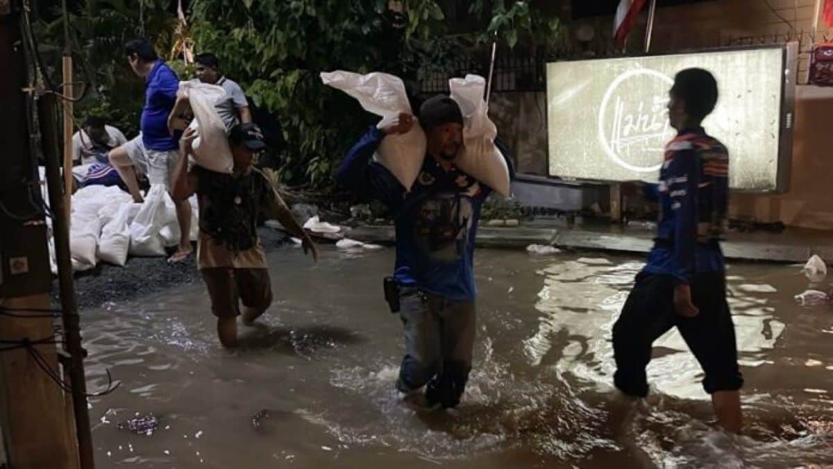
KhaoSod reported that the rise in water levels is also attributed to the recent increase in dam discharge to 2,800 cubic metres per second. Pathum Thani Municipality have deployed water pumps to prevent overflow through drainage systems and is reinforcing flood barriers and deploying sandbags to protect nearby structures.
Pol. Lt. Gen. Kamronwit urged irrigation authorities to communicate honestly and consistently, noting discrepancies in reported discharge rates. He said the PAO was initially informed of 2,700 cubic metres per second, which later rose to 2,750 and then 2,800, complicating timely warnings.


He added that equipment failure in Bang Luang subdistrict had caused floodwater to enter farmlands and that reinforcements were being brought from Chachoengsao to manage the situation.
Kamronwit confirmed ongoing coordination with Nonthaburi and Ayutthaya officials, where flood conditions are reportedly more severe. He emphasised the importance of accurate public communication to ensure residents can properly prepare.
Rangsit Mayor Trilup added that water levels in Khlong Rangsit Prayoonsak are currently at 12,000 cubic metres, within safe limits. However, contingency plans are in place for possible water diversion from surrounding canals, including those in Khlong Luang, Thanyaburi, Lam Luk Ka, and Bangkok.
Latest Thailand News


Follow The Thaiger on Google News: