Thunderstorms loom as monsoon lashes central Thailand
Warnings issued as severe weather expected to disrupt travel and daily life


Latest Thailand News


Follow The Thaiger on Google News:
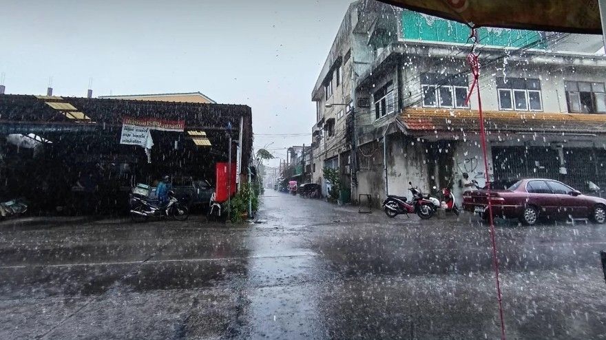
Heavy rain and storms are forecast across central and southern Thailand as the monsoon intensifies, prompting warnings for residents and travellers nationwide.
The monsoon trough continues to stretch across the lower central region, the upper South, and the East of Thailand, while the southwest monsoon maintains its grip over the Andaman Sea, the southern region, and the Gulf of Thailand.
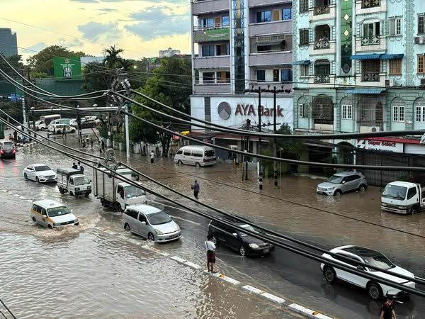
As a result, isolated heavy rain is forecast in several regions, including Bangkok and its surrounding areas. The East and the South are also expected to take a hit. Officials have urged residents to be on alert for possible flash flooding, particularly in low-lying areas.
Meanwhile, the North is expected to see a break from the intense rainfall, with lighter showers and fewer storms on the radar.
Out at sea, conditions remain hazardous. Waves in both the Andaman Sea and the Gulf of Thailand are forecast to reach around 1 metre in height, surging to more than 2 metres during thunderstorms. Mariners are advised to navigate with caution and avoid thundershower zones altogether.
The forecast for 6am today, October 11, to 6am tomorrow, October 12, is as follows:
Northern Thailand
Expect isolated thundershowers, especially in Tak, Kamphaeng Phet, Phichit, Phitsanulok and Phetchabun. Temperatures will range from 22 to 24°C at night and peak between 33 and 36°C during the day. Winds are easterly at 5 to 15 km/hr.
Northeastern Thailand
Scattered thundershowers are likely in Chaiyaphum, Nakhon Ratchasima, Buriram, Surin, Sisaket and Ubon Ratchathani. Minimum temperatures are expected at 22 to 24°C, with maximums between 33 and 34°C. Winds will blow easterly at 10 to 20 km/hr.
Central Thailand
Prepare for scattered thundershowers with isolated heavy downpours in areas including Kanchanaburi, Phra Nakhon Si Ayutthaya, Ratchaburi, Nakhon Pathom, Samut Songkhram, Samut Sakhon, and Saraburi. The mercury will dip to 23 to 25°C at night and rise to 32 to 34°C during the day. Winds are easterly at 10 to 20 km/hr.
Eastern Thailand
Fairly widespread thundershowers are expected, with some areas experiencing isolated heavy rain, particularly in Nakhon Nayok, Prachinburi, Sa Kaeo, Chachoengsao, Chon Buri, Rayong, Chanthaburi and Trat. Temperatures range from 22 to 24°C at night and 31 to 34°C by day. Winds are variable at 15 to 30 km/hr. Sea conditions include waves around 1 metre high, climbing above 2 metres during storms.
Southern Thailand (east coast)
Scattered thundershowers are forecast across Phetchaburi, Prachuap Khiri Khan, Chumphon, Surat Thani, and Nakhon Si Thammarat. Overnight lows will be between 23 and 24°C, with daytime highs of 33 to 35°C. From Prachuap Khiri Khan upwards, winds are variable at 15 to 30 km/hr; southwesterly winds prevail below Chumphon. Seas may see 1 metre waves, increasing to over 2 metres in thundershowers.
Southern Thailand (west coast)
Fairly widespread thundershowers and isolated heavy rain are expected in Phang Nga, Phuket, Krabi, Trang and Satun. Minimum temperatures will sit at 23 to 24°C, with highs between 31 and 33°C. Southwesterly winds of 15 to 30 km/hr are expected, and wave heights will reach around 1 metre, climbing above 2 metres in stormy conditions, according to the Thai Meteorological Department.
Bangkok and Metropolitan Area
The capital will see fairly widespread thundershowers with isolated heavy rain. Minimum temperatures are forecast at 24 to 25°C, climbing to 33 to 35°C during the day. Winds are variable at 10 to 20 km/hr.
Follow The Thaiger on Google News: