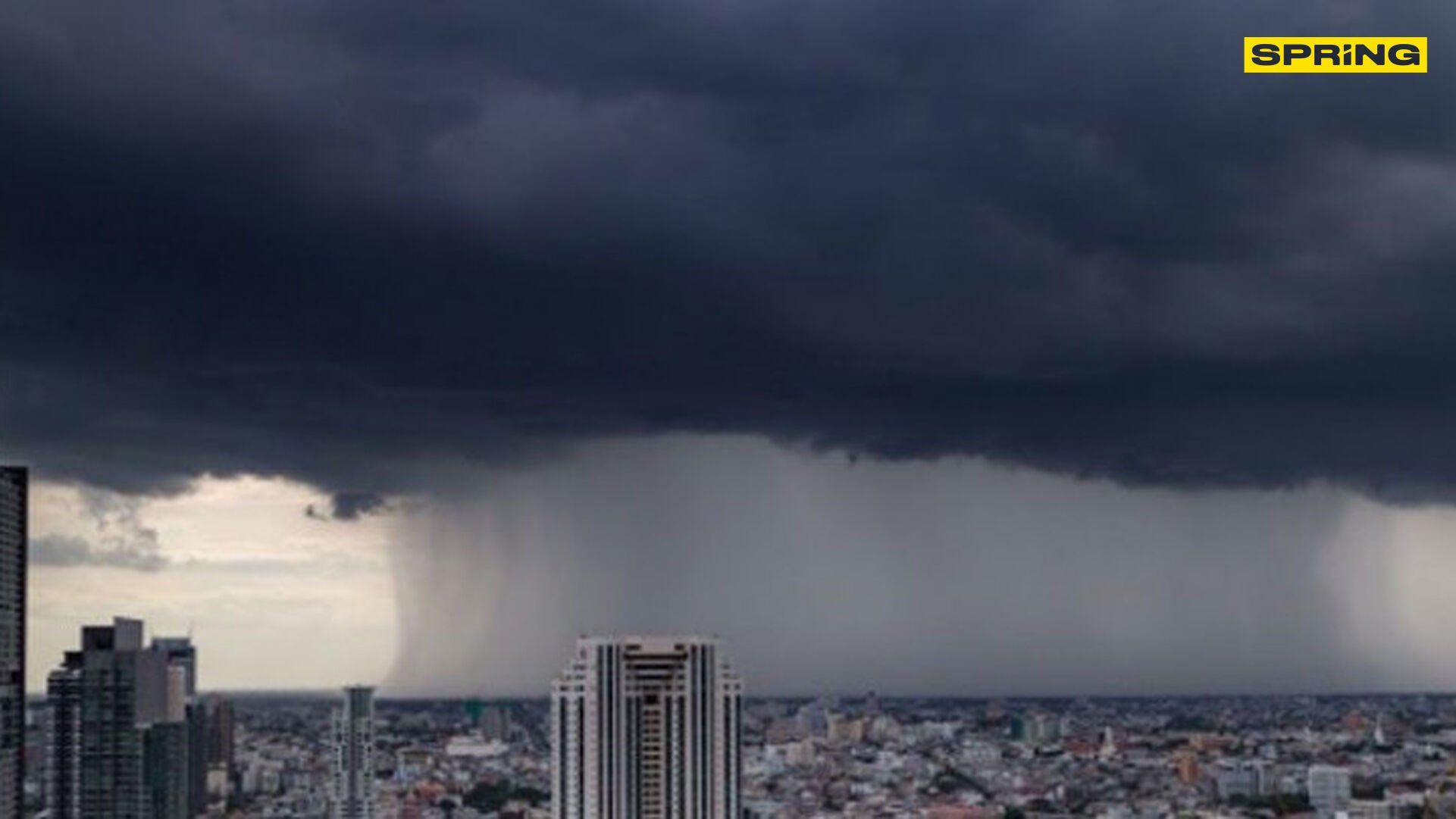
Brace for a drenching as monsoon swoons into Thailand

Hold onto your umbrellas, folks, Thailand is in the grip of Mother Nature’s fury as severe weather warnings sweep the nation, with torrential monsoon rains getting ready to drench 10 provinces.
The Meteorological Department of Thailand (TMD) isn’t mincing words, urging residents, especially those in flood-prone areas or near rivers, to keep their wits about them.
The southern regions are on high alert, as heavy to potentially catastrophic rains are set to unleash. Hardest hit will be Chumphon, Surat Thani, Nakhon Si Thammarat, Phatthalung, Songkhla, Pattani, Yala, and Narathiwat. Weather officials are warning that accumulated rainfall could spark sudden floods and rampant torrents, especially near mountains and waterways.
Meanwhile, in northern Thailand, a weakening high-pressure system is nudging temperatures up, with cool but foggy mornings expected in northern and northeastern areas. The Met Office urged travellers to be cautious as they navigate these fog-cloaked conditions.
“The northeastern monsoon persists steadily over the Gulf of Thailand and the south.”
Out at sea, the Gulf of Thailand is no picnic either, with waves soaring up to 2 metres in the south and 1 to 2 metres further north. Over in the Andaman Sea, waves will start around 1 metre, rising higher amid thunder-laced skies. Fishermen and small boat operators have been advised to steer clear of stormy waters.
Elsewhere, the northern skies have successfully managed to whisk away pollution problems, thanks to moderate winds keeping dust levels low.
Here’s a quick weather rundown for the next 24 hours.
Northern region: Expect a chilly start with a light fog in the morning. Temperatures will crest from 18–22°C early on, peaking at 32–34°C later. Breezes will be gentle, with speeds of 10–20 km/h.
Northeastern region: Similarly cool mornings with fog, warming as the day progresses from 18–23°C to afternoon highs of 32–34°C. Winds here ramp up a bit to 10–25 km/h.
Central and eastern regions: Light fog will make way for warmer days, with morning readings of 22–26°C nudging up to 31–35°C. Expect winds of 10–30 km/h, with sea waves climbing from about a metre to slightly higher offshore.
Southern region (eastern coast): Thunderstorms are forecasted to whip through 70% of the area with some spots facing especially heavy rain. Temperatures will range from 23–25°C in the morning, climbing to 30–33°C, with winds blasting at 15–35 km/h and sea waves surging to two metres in stormy sections.
Southern region (western coast): Expect storms across 60% of the landscape, with significant rainfall in places like Trang and Satun. Morning temps will hover between 24–25°C, reaching 29–32°C later. Winds will blow at 15–30 km/h, with sea waves also swelling during storms.
Bangkok and surrounding areas: Residents can expect a foggy start before temperatures rise from a morning 24–25°C to afternoon highs of 32–34°C. Winds will glide through gently, at 10–20 km/h.
To stay ahead of the weather woes, residents are being advised to tune into official updates and stay cautious. With flash floods and landslides looming on the horizon, it’s time to batten down the hatches and prepare for the wet and wild ride ahead.
What Other Media Are Saying
- EFE reports Thailand has heightened flood alerts across northern regions, including Chiang Mai, due to heavy rains causing severe flooding, prompting emergency evacuations and military aid to affected residents. (read more)
- The Phuket Express reports the Thai Meteorological Department’s warning of unsettled weather from October 19th to 21st, urging caution in northern and central regions due to thunderstorms and potential flash floods. (read more)
- Crisis24 reports severe weather warnings for southern Thailand due to a strengthening northeast monsoon, predicting heavy rainfall, potential flooding, landslides, and heightened disease risks, urging caution for residents and travellers. (read more)
Frequently Asked Questions
Here are some common questions asked about this news.
Why are southern provinces in Thailand more susceptible to monsoon impacts?
Southern provinces face monsoon impacts due to their geographical position, where the northeastern monsoon over the Gulf and the Andaman Sea significantly influences weather patterns.
How does the monsoon affect the daily lives of residents in affected areas?
The monsoon can disrupt daily life by causing flooding, transportation delays, and impacting agriculture, necessitating preparedness and adaptation strategies.
What if the high-pressure system in northern Thailand remains weak for an extended period?
A prolonged weak high-pressure system could lead to sustained warmer temperatures and increased fog, affecting health and visibility.
How do changes in wind speed influence sea conditions in the Gulf of Thailand?
Increased wind speeds can elevate wave heights, leading to rough sea conditions that pose risks for fishermen and small boats.
What measures can residents take to mitigate the risks of flash floods and landslides?
Residents can mitigate risks by staying informed, creating emergency plans, securing properties, and avoiding low-lying areas during heavy rainfall.
Latest Thailand News
Follow The Thaiger on Google News:


