Thailand storm alert: Tropical system barrels in with torrential rain
Rivers rising fast as disaster teams race to prepare high-risk provinces for impact

Thailand is bracing for a wet and wild week ahead as heavy rain, flash floods, and runoff threaten large parts of the country, just days after storm Kajiki wreaked havoc.
The Thai Meteorological Department (TMD) has warned of intensifying rainfall from today, August 30, through to Wednesday, September 3, with the northern and northeastern regions set to take the hardest hit. The cause is a low-pressure system developing over northern Vietnam, intensified by a mild southwesterly wind blowing in from the Andaman Sea and Gulf of Thailand.
Bangkok isn’t escaping the downpour. Rain probability in the capital is expected to spike from 40% yesterday, August 29, to a soggy 70% by tomorrow, August 31, with similar weather forecast nationwide.
TMD officials have urged residents across the country, excluding those in southern Gulf provinces, to prepare for sudden flooding and dangerous runoff. Those living near rivers, low-lying areas or foothills are being warned to stay alert.

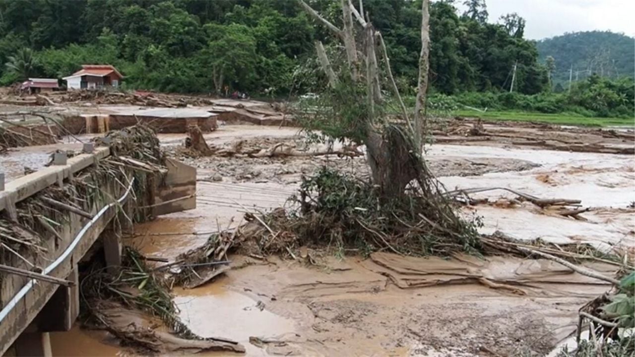
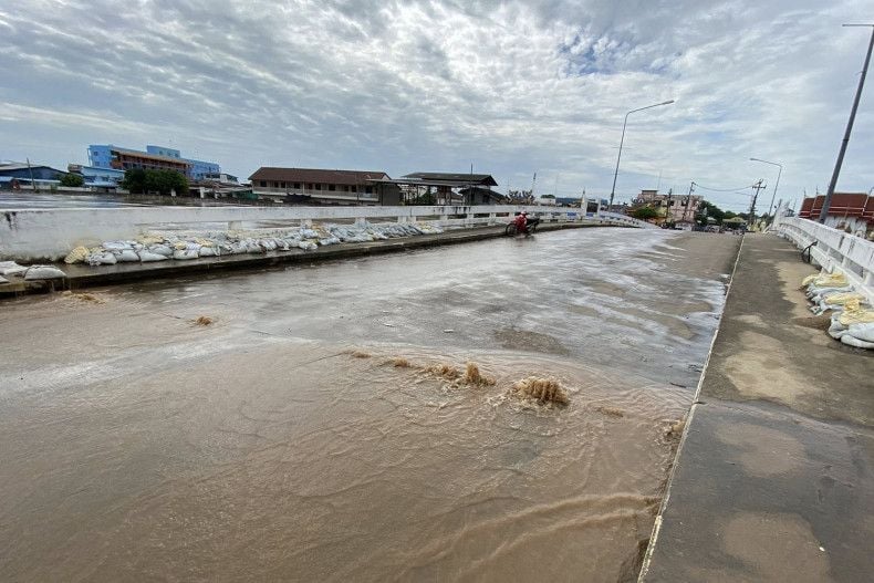
The warning follows the devastation of storm Kajiki, which left seven people dead and five still missing. Sukhothai was among the hardest hit, with the Yom River breaching its banks and swamping five districts and Mueang municipality. Downstream provinces are now being warned of further flooding as water levels continue to rise.
Adding fuel to the fire, a tropical depression was detected at 4am today in the central South China Sea, about 210 kilometres southeast of Vietnam’s Quang Binh province. With winds reaching up to 55 kilometres per hour, the depression is moving west at 22km/h and is expected to make landfall later this evening, before weakening into a tropical storm.
The system is predicted to sweep across northern Laos and enter northeastern Thailand by tonight, hitting the northern region by tomorrow. The monsoon trough will drag heavy to very heavy rain and strong winds across much of the northeast, including Nakhon Phanom, Sakon Nakhon, Udon Thani, and Khon Kaen, reported Bangkok Post and KhaoSod.
The north and upper central regions, especially Sukhothai, Chiang Mai, Lampang, and Phitsanulok, will likely feel the full force of the storm tomorrow, August 31.
Residents are being urged to remain cautious, as accumulated rainfall may trigger flash floods and forest runoff.
Latest Thailand News
Follow The Thaiger on Google News:


