More cold weather and heavy rain forecasted for Thailand

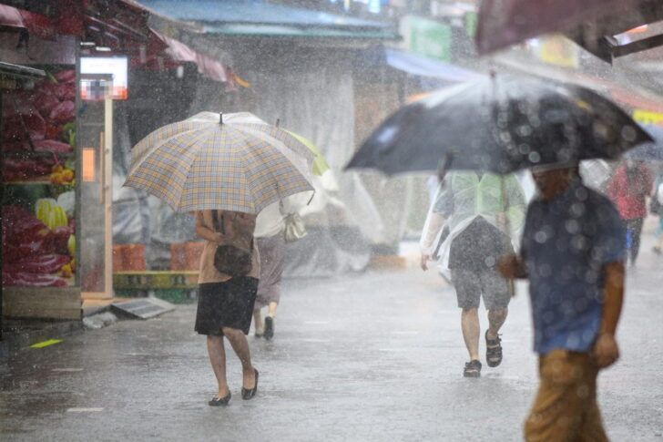
A powerful cold front is sweeping across Thailand, bringing cooler temperatures, strong winds and heavy rain to several regions, according to forecasters.
The Thai Meteorological Department (TMD) reports that a fresh high-pressure front is extending from China into the upper northeast and will spread across upper Thailand and the South China Sea. Combined with persistent easterly winds, this will bring scattered rain across the upper regions today before temperatures drop.
From tomorrow, November 19, until November 20, residents across the north, northeast, central and eastern regions, including Bangkok, should prepare for a noticeable dip in temperature. The northeast will see the most significant change, with a decrease of 3 to 5°C. The north, central, and eastern regions, including the capital, can expect a 1 to 3°C drop.
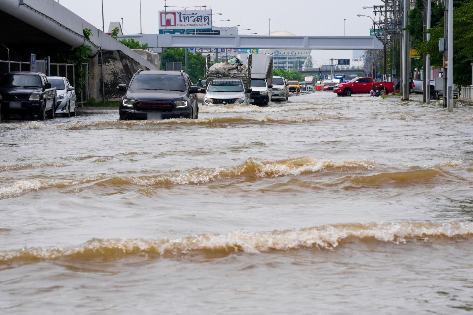
Meanwhile, in the south, the northeast monsoon is strengthening over the Gulf of Thailand and the upper Andaman Sea. This will bring fairly widespread thundershowers and isolated heavy to very heavy rain. Waves are expected to reach 2 metres offshore and exceed 2 metres during thundershowers, prompting warnings for small boats to stay ashore.
The forecast from 6am today, November 18, to 6am tomorrow is as follows:
The north will be cool, with temperatures dropping by 1 to 3°C. Scattered showers are likely in areas such as Mae Hong Son, Chiang Mai, Chiang Rai, Lamphun, Lampang, Phayao, Nan and Phrae. Minimum temperatures will range from 18 to 22°C, with highs between 25 to 29°C. Mountainous areas will be colder, with lows between 6 to 14°C. Winds from the northeast will blow at 10 to 25 km/hr.
In the northeast, a stronger chill is forecast, with a temperature drop of 3 to 5°C and isolated light rain. Expect lows of 16 to 20°C and highs of 26 to 29°C. Mountain areas could see minimums as low as 8 to 15°C. Winds will be brisk at 10 to 35 km/hr.


The central region, including Bangkok, will see a slight cool-down of 1 to 3°C and scattered showers, particularly in Suphan Buri, Kanchanaburi, Ratchaburi, Nakhon Pathom, Samut Sakhon and Samut Songkhram. Lows will sit between 19 to 22°C with highs of 27 to 30°C. Winds from the northeast will range from 10 to 30 km/hr.
Expect similar conditions in the east with scattered rain, especially in Chachoengsao, Chon Buri, Rayong, Chanthaburi and Trat. Temperatures will range from 19 to 22°C at the low end, rising to 29 to 31°C during the day. Winds will hit 20 to 35 km/hr, with wave heights of 1 to 2 metres and more than 2 metres offshore during thunderstorms.
In southern Thailand, rain and isolated heavy showers are likely on the east coast in Phetchaburi, Prachuap Khiri Khan, Chumphon, Surat Thani, Nakhon Si Thammarat, Phatthalung and Songkhla. Minimum temperatures will fall between 21 to 24°C, while highs will sit between 26 and 30°C. Northeasterly winds will blow at 20 to 35 km/hr, with wave heights around 2 metres, rising higher during storms.
On the west coast, fairly widespread thundershowers are expected in Ranong, Phang Nga, Krabi and Trang. Low temperatures will range from 23 to 25°C, with highs of 28 to 31°C. Northeasterly winds from Krabi upwards will blow at 20 to 35 km/hr, bringing 1 to 2 metre waves, exceeding 2 metres during thundershowers. From Trang downwards, wind speeds will be 15 to 30 km/hr, with wave heights around 1 metre, rising offshore and during storms.
In Bangkok, scattered rain is expected alongside a 1 to 3°C drop in temperature. Morning lows will hover between 20 to 22°C with daytime highs reaching 28 to 30°C. Winds will be from the northeast at 10 to 30 km/hr.
Latest Thailand News


Follow The Thaiger on Google News: