It keeps raining: Thailand continues to brace for heavy downpours
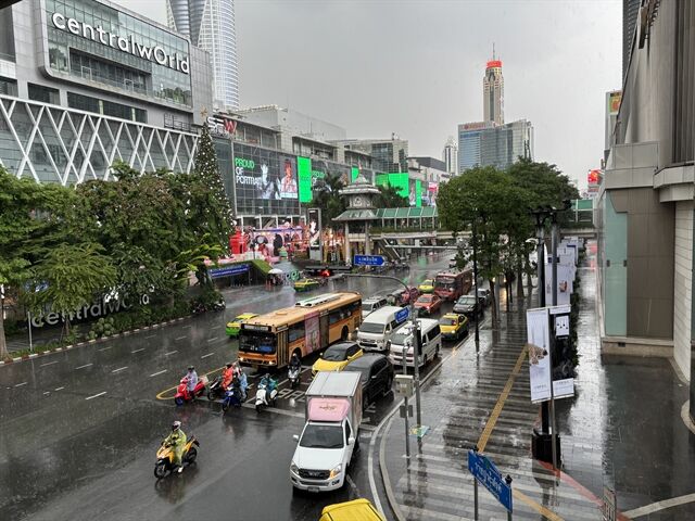
Bangkok will experience thunderstorms with temperatures reaching 33°C

The Thai Meteorological Department (TMD) forecasts significant rainfall across 44 provinces, with the heaviest downpours expected in the northern and northeastern regions, potentially affecting up to 70% of these areas. Residents are advised to be cautious of potential flash floods and forest runoff.
The department’s 24-hour weather forecast predicts heavy rain in parts of the northeast and eastern Thailand, while the north and the western south will also experience significant rainfall. Residents in these regions should take precautions against heavy rain accumulation, which could lead to sudden flooding and runoff, especially in hilly and low-lying areas. Farmers are advised to protect their crops from potential damage.
The monsoon trough currently affects the north and upper northeast, coupled with a strong southwest monsoon over the Andaman Sea, the south, and the Gulf of Thailand.
The TMD has issued its eighth warning concerning Tropical Storm Wutip, which is causing heavy rain in the northeast. The upper Andaman Sea and the upper Gulf of Thailand are experiencing strong winds, with waves reaching 2-3 metres and over 3 metres during thunderstorms. The lower Andaman Sea has waves of about 2 metres, increasing in stormy areas. Mariners should exercise caution and avoid sailing during thunderstorms. Small boats in the upper Andaman Sea and the upper Gulf of Thailand should remain ashore.
Tropical Storm Wutip in the upper South China Sea is expected to pass through Hainan Island and make landfall in southern China between today and tomorrow, June 14. This storm is not predicted to enter Thailand, but travellers to the affected regions should check weather conditions before departure.
For the north, thunderstorms are expected across 70% of the area, with heavy rain in some parts, including Mae Hong Son, Chiang Mai, and Chiang Rai. Temperatures will range from 23-25°C to 31-35°C, with variable winds at 5-15 km/h. The northeast will see similar thunderstorm coverage and heavy rain in areas like Loei and Nong Khai, with temperatures from 23-25°C up to 28-33°C, and variable winds at 10-20 km/h.
Central Thailand will see thunderstorms in 40% of the area, mainly in provinces like Nakhon Sawan and Uthai Thani, with temperatures from 24-25°C to 32-34°C, and southwest winds at 10-20 km/h. The east will experience thunderstorms in 60% of the area, with heavy rain in provinces such as Prachin Buri and Rayong. Temperatures will range from 23-27°C to 30-33°C, southwest winds at 20-40 km/h, and sea waves of 2-3 metres.


The southern east coast is expected to see thunderstorms in 30% of the area, particularly in Phetchaburi and Chumphon, with temperatures from 23-25°C to 32-34°C, and southwest winds at 15-35 km/h. Sea waves will be 1-2 metres, increasing in stormy areas. The southern west coast will experience thunderstorms in 40% of the area, with heavy rain in Ranong and Phang Nga. Temperatures will be between 22-25°C and 31-33°C, with southwest winds at 20-40 km/h north of Phang Nga, and waves of 2-3 metres, increasing in stormy areas. South of Phuket, winds will be 20-35 km/h, and waves approximately 2 metres, reported KhaoSod.
Bangkok and the surrounding areas will have thunderstorms in 60% of the area, with heavy rain in some locations. Temperatures will range from 26-28°C to 32-33°C, with southwest winds at 10-20 km/h.
Latest Thailand News


Follow The Thaiger on Google News: