Storm chaos looms as heavy rain and floods hit Thailand
Cool mornings up north, rising sea levels down south spark alerts
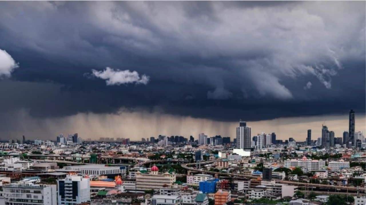
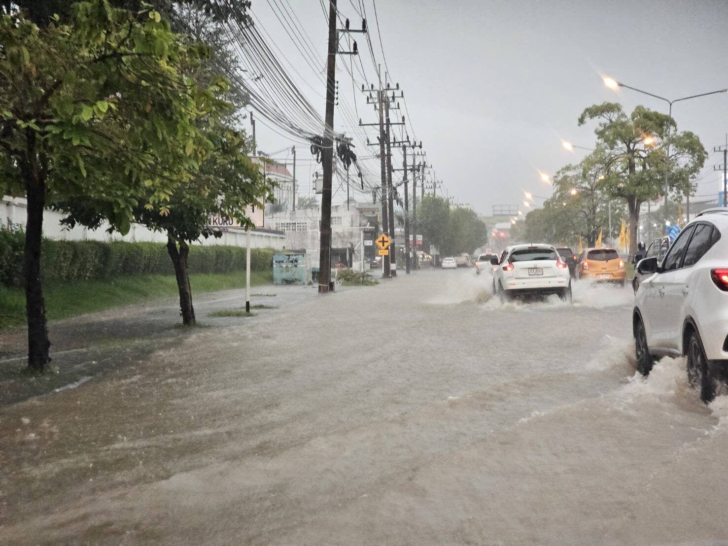
Heavy rain, strong winds, and high waves are sweeping across Thailand as a monsoon trough causes flash floods and disruptions in several regions.
The Thai Meteorological Department (TMD) has warned that residents in the south should stay alert for sudden downpours and flooding, especially near foothills, low-lying areas, and waterways. Travelling through flood-prone zones is strongly discouraged.
In the upper Gulf and the upper Andaman Sea, moderate northeasterly monsoon winds are generating waves between 1 and 2 metres, rising to over 2 metres during thundershowers. Down in the lower Gulf and lower Andaman, seas are slightly calmer at around 1 metre, but again exceed 2 metres when storms strike.
Meanwhile, a moderate high-pressure system from China is lingering over upper Thailand, bringing cooler mornings and patchy rain across several regions.
The forecast from 6am today, October 24, to 6am tomorrow, October 25, is as follows:
North Thailand is waking up to cool morning temperatures ranging from 17 to 23°C, dipping to a chilly 9 to 15°C on mountain tops. Isolated light rain is expected, with highs between 30 and 33°C. Winds are blowing from the northeast at 10 to 15 km/hr.
Northeast Thailand will see similar cool conditions with scattered light showers in the lower part. Temperatures range from 18 to 22°C, with mountain areas seeing lows of 12 to 16°C. Maximums will hover between 29 and 31°C, and winds will range from 10 to 25 km/hr.


Central Thailand remains dry and cool in the morning, with minimum temperatures of 21 to 24°C and highs of 30 to 33°C. Winds are northeasterly at 10 to 20 km/hr.

Eastern Thailand will be cool in the upper areas with light coastal rain. Temperatures range from 21 to 25°C, climbing to 31 to 33°C. Winds are stronger here, reaching 15 to 35 km/hr. Wave heights are around 1 metre, increasing to 1 to 2 metres offshore and over 2 metres during storms.
The east coast in southern Thailand faces fairly widespread thundershowers and isolated downpours, especially in Surat Thani, Nakhon Si Thammarat, Phatthalung, Songkhla, Pattani, Yala, and Narathiwat. Lows will range from 22 to 25°C, with highs of 27 to 32°C. From Chumphon upward, expect northeasterly winds of 15 to 35 km/hr with waves reaching 1 to 2 metres and beyond 2 metres during storms. From Surat Thani downward, variable winds at 15 to 30 km/hr will stir waves about 1 metre high, increasing in thundershowers.
The west coast will also be soaked, particularly in Phang Nga, Phuket, Krabi, Trang, and Satun. Rainfall will be heavy to very heavy in places. Minimum temperatures are between 23 and 25°C, peaking at 28 to 30°C. From Phang Nga upward, easterly winds at 15 to 35 km/hr will bring waves of around 1 metre, up to 2 metres offshore and higher in storms. From Phuket downward, expect similar conditions with variable winds of 15 to 30 km/hr, according to the TMD.
Bangkok and surrounding areas are in for a cloudy day. Temperatures will range from 24 to 26°C in the morning and climb to 32 to 34°C by the afternoon. Winds are northeasterly at 10 to 20 km/hr.
Latest Thailand News


Follow The Thaiger on Google News: