Heavy rain probable across Thailand due to southwesterly monsoon influence
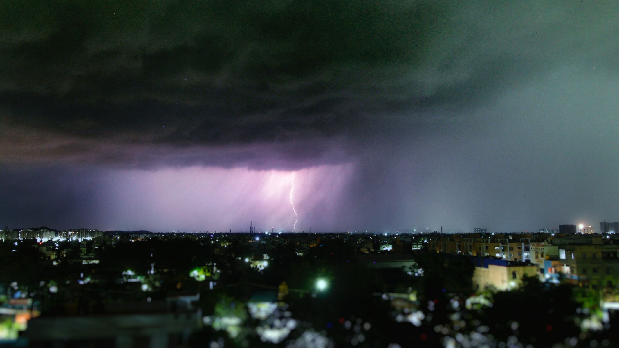
The latest weather update indicates a 60% chance of heavy rain in the northern, northeastern, and eastern regions, and Bangkok today.
The southwesterly monsoon blowing across the Andaman Sea and the Gulf of Thailand is the cause, according to the Thai Meteorological Department (TMD) forecast for the next 24 hours. The monsoon, accompanied by a low-pressure area near the coast of northern Vietnam and the Gulf of Tonkin, will continue to bring downpours to parts of Thailand, with northern and eastern regions most affected. Some areas in the northeast are also expected to experience severe rainfall.
Across the north, there’s a 60 % chance of rain and thunderstorms, with heavy rain in some parts of Mae Hong Son, Chiang Mai, Chiang Rai, Phayao, Phrae, Nan, Uttaradit, and Tak. Temperatures range from 24-26 degrees Celsius at the lowest to 30-33 degrees Celsius at the peak. The southwest winds are blowing at a speed of 10-20 kilometres per hour.
In the northeast, the chances of rain and thunderstorms are 60%, with some areas, including Nong Khai, Bueng Kan, Udon Thani, Sakon Nakhon, Nakhon Phanom, Kalasin, Mukdahan, Yasothon, Amnat Charoen, Buriram, Surin, Sisaket, and Ubon Ratchathani, experiencing heavy to severe rain. Temperatures will hover between 23-26 degrees Celsius to 28-36 degrees Celsius. Southwest winds here have a speed of 10-25 kilometres per hour.
The central region, primarily Kanchanaburi, Uthai Thani, Ratchaburi, Nakhon Pathom, Samut Songkhram, and Samut Sakhon, has a 40% chance of thunderstorms. The temperature will be between 24-27 degrees Celsius and 33-36 degrees Celsius. The southwest wind speed is 10-25 kilometres per hour, reported KhaoSod.
In the east, the probability of thunderstorms is 60%, with heavy rain in parts of Nakhon Nayok, Prachinburi, Sa Kaeo, Rayong, Chanthaburi, and Trat. Temperatures are expected to range from 24-28 degrees Celsius at low to 30-33 degrees Celsius at peak. Southwest winds are blowing at a speed of 20-35 kilometres per hour. The sea has waves about 2 metres high and areas with thunderstorms have waves higher than 2 metres.
In the southeast coast of the southern region, the thunderstorms cover 40% of the area, mainly in Phetchaburi, Prachuap Khiri Khan, Chumphon, Surat Thani, Pattani, and Narathiwat. Temperatures fall between 24-28 degrees Celsius and rise to 33-36 degrees Celsius. Southwest wind speed is 15-35 kilometres per hour. The sea features waves 1 to 2 metres high, with more than 2 metres high waves away from the coast.


In the southwest coast of the southern region, the thunderstorms comprise 60% of the area, mainly in Ranong, Phang Nga, Trang, and Satun. Temperatures fall between 24-27 degrees Celsius and rise to 31-34 degrees Celsius. From Phuket province and upwards, southwest winds are blowing at a speed of 20-35 kilometres per hour, and the sea has waves roughly 2 metres high, with waves exceeding 2 metres in thunderstorm areas. From Krabi province and downwards, the southwest wind speed is 15-35 kilometres per hour. The sea has waves that are 1-2 metres high, with waves over two metres high in thunderstorm zones.
In Bangkok and surrounding provinces, there’s a 60 % chance of thunderstorms. Temperatures may range from 26-28 degrees Celsius to 33-35 degrees Celsius. The Southwest wind is blowing at a speed of 10-25 kilometres per hour.
Latest Thailand News


Follow The Thaiger on Google News: