Heavy rain warning: Thailand braces for flash floods as 44 provinces drenched, eastern region bears brunt
The Thai Meteorological Department (TMD) today issued a heavy rain warning and flash floods in 44 provinces. The eastern region is expected to be the hardest hit, with 80% of the area likely to face heavy downpours.
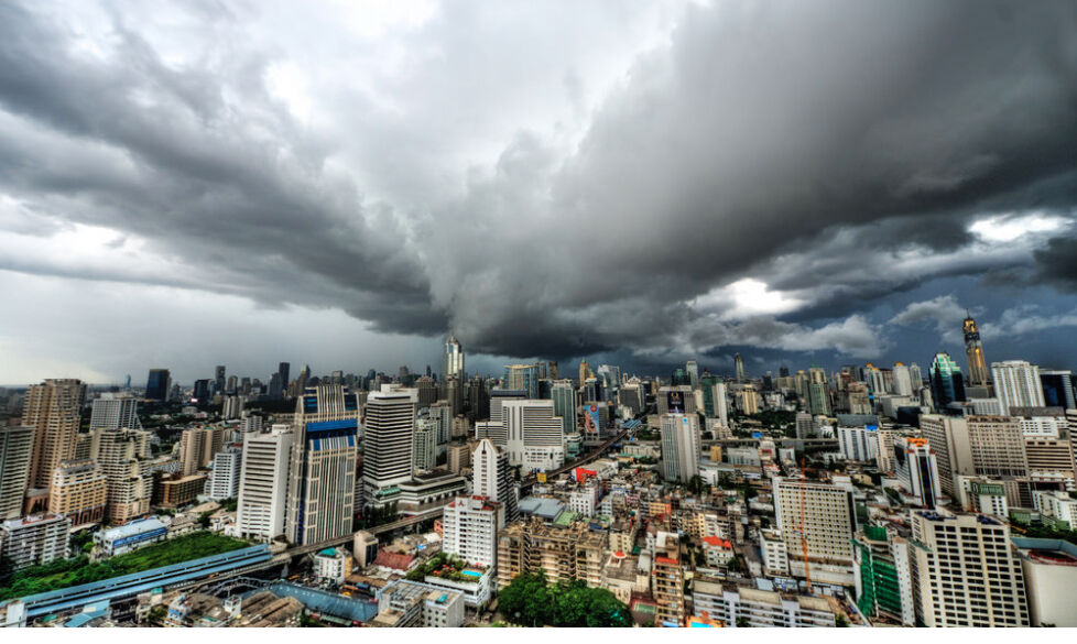
Bangkok is also expected to experience significant heavy rain, with a risk of sudden flash floods and forest water run-off.
The 24-hour weather forecast indicates that the high atmospheric pressure area is covering southern China, with a trough passing through the northern and northeastern regions.
This, combined with the southwest monsoon prevailing over the Andaman Sea, Thailand and the Gulf of Thailand, results in heavy rain and flash floods in several areas.
A low-pressure pocket covers the lower northeastern region, lower Laos, and Cambodia.
These conditions result in heavy rain in various parts of the lower northeastern region, the central region, and the south. There is also a prediction of very heavy rain and flash floods in some parts of the eastern region.
Accumulated rainfall


The public in these areas is urged to be aware of the dangers of heavy and accumulated rain, which could lead to sudden flash floods and forest water run-off, especially on slopes near watercourses and in low-lying areas.
People are also advised to exercise caution when travelling through areas with thunderstorms and to avoid staying in open areas, under large trees, and near unstable billboards.
For the upper Andaman Sea and the upper Gulf of Thailand, the waves are expected to reach a height of 1-2 metres. In the areas with thunderstorms, the waves could exceed 2 metres.
The lower Andaman Sea and the lower Gulf of Thailand will have waves approximately 1 metre high, and in the areas with thunderstorms, the waves could reach a height of 1-2 metres.
Boaters are advised to navigate with caution and avoid areas with thunderstorms and heavy rain.
Weather forecast for next 24 hours
The northern region will have 30% of the area experiencing thunderstorms, primarily in the provinces of Mae Hong Son, Tak, Phitsanulok, Kamphaeng Phet, Phichit, and Phitsanulok. The lowest temperature will be 23-26 degrees Celsius and the highest temperature will be 33-35 degrees Celsius. The wind will be variable at a speed of 5-15 km/hr.
The northeastern region will have 40% of the area experiencing thunderstorms, with some areas facing heavy rainfall. The provinces likely to be affected are Roi Et, Yasothon, Amnat Charoen, Nakhon Ratchasima, Buri Ram, Surin, Si Sa Ket, and Ubon Ratchathani.
The lowest temperature will be 24-26 degrees Celsius and the highest temperature will be 34-36 degrees Celsius. The wind will be variable at a speed of 10-25 km/hr.
The central region will have 60% of the area facing thunderstorms, with some areas facing heavy rainfall. The provinces likely to be affected are Kanchanaburi, Ratchaburi, Lopburi, Saraburi, Ayutthaya, Nakhon Pathom, Samut Songkhram, and Samut Sakhon.
The lowest temperature will be 24-26 degrees Celsius and the highest temperature will be 34-36 degrees Celsius. The wind will be from the southwest at a speed of 10-20 km/hr.
The eastern region will have 80% of the area facing thunderstorms, with some areas facing very heavy rainfall. The provinces likely to be affected are Nakhon Nayok, Prachin Buri, Chachoengsao, Sa Kaeo, Chon Buri, Rayong, Chanthaburi, and Trat.
Thunderstorms
The lowest temperature will be 24-25 degrees Celsius and the highest temperature will be 29-32 degrees Celsius. The wind will be variable at a speed of 15-35 km/hr. The sea will have waves 1-2 metres high, and in the areas with thunderstorms, the waves could exceed 2 metres.
The south (east coast) will have 60% of the area experiencing thunderstorms, with some areas facing heavy rainfall. The provinces likely to be affected are Phetchaburi, Prachuap Khiri Khan, Chumphon, Surat Thani, Pattani, Yala, and Narathiwat.
The lowest temperature will be 24-26 degrees Celsius and the highest temperature will be 32-34 degrees Celsius. The wind will be from the southwest at a speed of 15-30 km/hr. The sea will have waves approximately 1 metre high, and in the areas with thunderstorms, the waves could reach a height of 1-2 metres.
The south (west coast) will have 70% of the area experiencing thunderstorms, with some areas facing heavy rainfall. The provinces likely to be affected are Ranong, Phang Nga, Phuket, Krabi, Trang, and Satun. The lowest temperature will be 24-27 degrees Celsius and the highest temperature will be 30-33 degrees Celsius.
The wind will be from the southwest at a speed of 15-35 km/hr. The sea will have waves 1-2 metres high, and in the areas with thunderstorms, the waves could exceed 2 metres.
Bangkok and its vicinities will have 70% of the area experiencing thunderstorms, with some areas facing heavy rainfall. The lowest temperature will be 25-26 degrees Celsius and the highest temperature will be 33-34 degrees Celsius. The wind will be from the southwest at a speed of 10-20 km/hr.
Follow more of The Thaiger’s latest stories on our new Facebook page HERE.
Latest Thailand News


Follow The Thaiger on Google News: