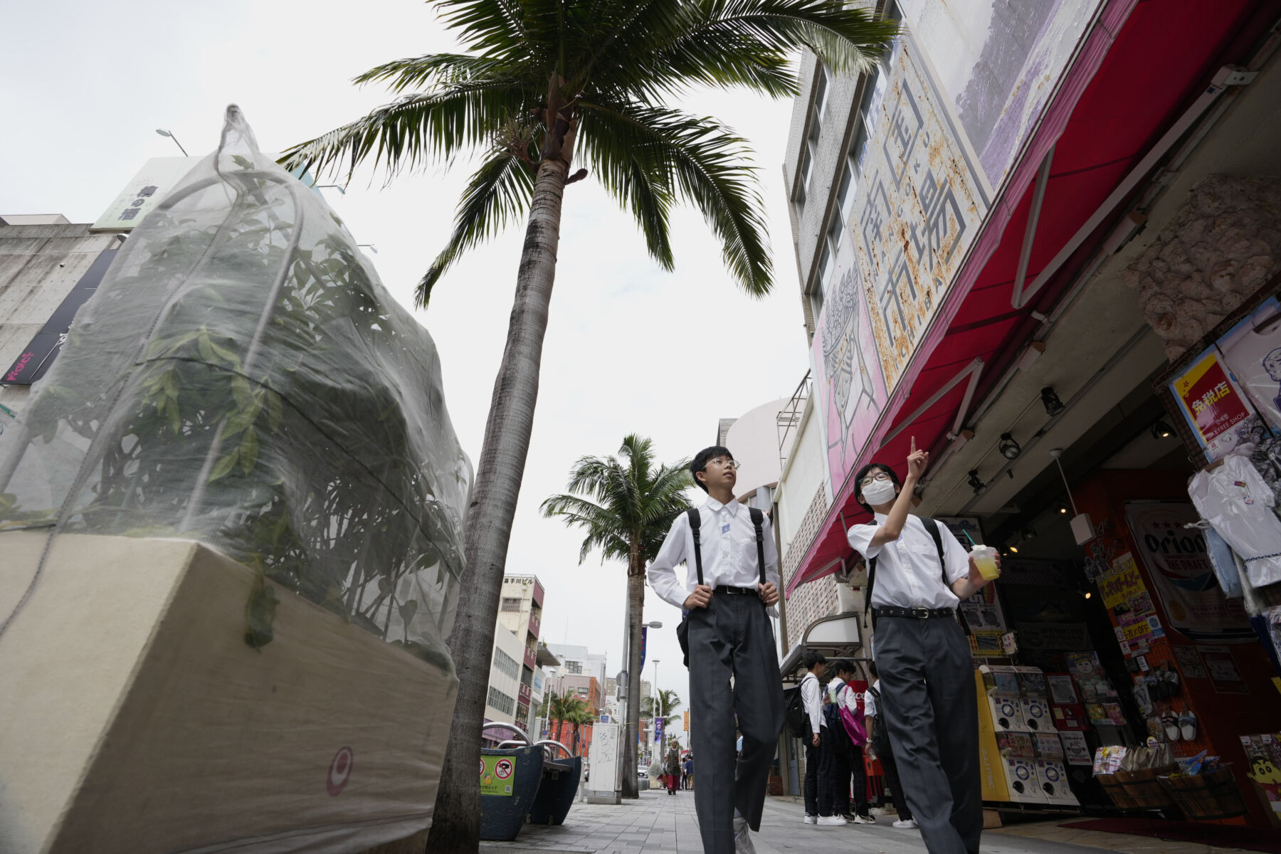
Japan on alert as Typhoon Mawar threatens floods and landslides

Torrential rains loom over Japan as Typhoon Mawar approaches, threatening to bring heavy rainfall and strong winds across the main islands. Having already caused significant damage in Guam earlier this week, Mawar has since weakened from its super typhoon status to a tropical storm.
Taiwan’s coast also experienced the effects of Typhoon Mawar, with seawater flooding the streets of Suao, a port town in northeastern Yilan. The destructive storm is expected to lose more strength as it moves towards the southeastern coast of Japan. The main body of the storm is predicted to pass south of Honshu, Japan’s main island, as it moves into the Pacific.
However, forecasters cautioned that the typhoon’s humid air could combine with a seasonal rain front, resulting in heavy localised downpours. This type of weather pattern has previously led to flooding and landslides, such as the devastating events in western Japan during the summer of 2018, which claimed over 200 lives.
The Japan Meteorological Agency issued flood warnings for the Okinawa island chain as well as parts of the Shikoku and Honshu islands. Western Honshu is expected to receive up to 350 millimetres of rain within the 24-hour period leading up to tomorrow morning. The weather agency reported that yesterday, tides could potentially reach heights of 9 meters, and wind gusts on Okinawa’s main island could escalate to 162 kilometres per hour.
Typhoon Mawar is said to be the ninth typhoon of the season, and local government offices were quick to issue alerts and safety advice to residents and visitors in the affected areas, reported Channel News Asia.
Approximately 27,000 residents in Toyohashi, a city located in central Honshu, were recommended to evacuate. Additionally, evacuation advisories were issued in various regions of Shikoku. Several flights to areas within the Okinawa island chain were cancelled, but as of Friday morning, there were no other significant transportation disruptions reported.
Latest Thailand News
Follow The Thaiger on Google News:


