Heavy rain warning in Thailand as temperatures drop

The Thai Meteorological Department (TMD) has issued its 8th weather warning for heavy rain, identifying key provinces that will be most affected. Temperatures will drop by 1 to 2 degrees Celsius (°C) across many regions.
A moderate high-pressure system persists over upper Thailand and the South China Sea, causing cooler temperatures in the northern, northeastern, and central areas of Thailand. These regions will experience cold to very cold weather, particularly in mountainous areas where frost is expected. Meanwhile, the east and upper south regions, including Bangkok and its vicinity, will see cool mornings. Residents are advised to dress warmly and be cautious of potential fire hazards due to dry conditions.
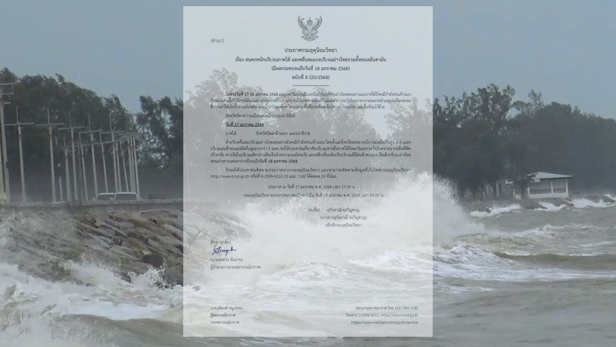
The northeast monsoon over the lower Gulf of Thailand and southern region remains strong, leading to heavy rain in parts of the lower south. The Gulf of Thailand’s lower section will experience strong winds with waves reaching 2 to 3 metres, exceeding 3 metres in stormy areas. The upper Gulf of Thailand and the Andaman Sea will see waves around 2 metres, with higher surges during storms. Residents in the eastern southern region should be on alert for heavy rain and coastal waves. Seafarers are urged to navigate carefully and avoid sailing in stormy conditions. Small boats in the lower Gulf should stay ashore until today, January 18.
Current weather conditions could increase dust accumulation due to moderate air circulation and weakening winds in some areas of upper Thailand.
Weather forecast
The northern region will be cold with morning fog, with temperatures dropping by 1 to 2°C, and lows of 10 to 17°C and highs of 26 to 31°C. Mountain tops will be very cold with frost in some areas, with lows of 2 to 8°C.
The northeastern region will experience cold weather, with temperatures decreasing by 1 to 2°C, and lows of 9 to 16°C and highs of 26 to 30°C. Mountain peaks will be very cold, with lows of 6 to 12°C.


The central region will have a cool to cold morning, with temperatures dropping by 1 to 2°C, and lows of 15 to 19°C and highs of 30 to 32°C.
The eastern region will have a cool morning, with temperatures dropping by 1 to 2°C, and lows of 17 to 22°C and highs of 31 to 33°C. Waves will reach 1 to 2 metres, reaching 2 metres offshore.
The southern region (east coast) will be cool in upper areas, with temperatures dropping by 1 to 2°C and thunderstorms in 30% of areas and heavy rain in Pattani, Yala, and Narathiwat. Temperature ranges from lows of 18 to 24°C to highs of 29 to 31°C. Winds will travel at 20 to 35 kilometres per hour (km/h), with waves reaching around 2 metres, exceeding 2 metres in stormy areas.
The southern region (west coast) will see thunderstorms in 20% of areas, mainly in Trang and Satun, with temperatures ranging from lows of 23 to 25°C to highs of 30 to 32°C. Waves will reach 1 to 2 metres, and more than 2 metres in stormy areas, reported KhaoSod.
Bangkok and vicinity will experience a cool morning, with temperatures dropping by 1 to 2°C, ranging from lows of 18 to 20°C to highs of 31 to 33°C.
Latest Thailand News


Follow The Thaiger on Google News: