Thunderstorms and cool foggy mornings hit Thailand
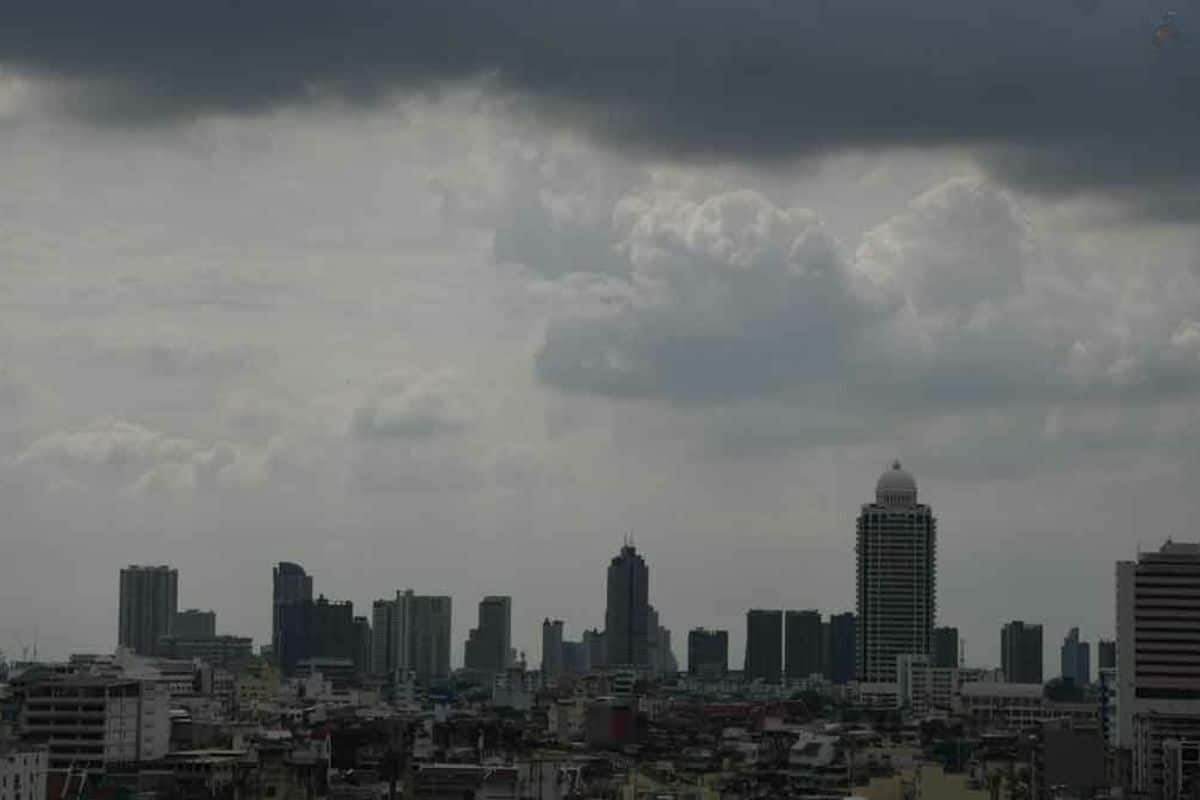
The Thai Meteorological Department (TMD) issued a weather forecast cautioning residents in South Thailand of thunderstorms and high seas, while the upper regions of Thailand will experience cool mornings with fog and hot afternoons.
The forecast predicts a weak high-pressure system will cover the northeastern areas and the South China Sea, causing the upper regions to be cool in the morning and hot during the day.
Mountain peaks will experience cold to very cold weather. Residents are advised to take care of their health due to changing conditions, be cautious of fire hazards due to dry conditions, and drive carefully in foggy areas.
The weakened northeast monsoon over the Gulf of Thailand, South Thailand, and the Andaman Sea results in mild winds and waves around 1 metre high.
Thunderstorm areas may see waves above 1 metre, so sailors in the lower Gulf should navigate cautiously and avoid stormy areas.
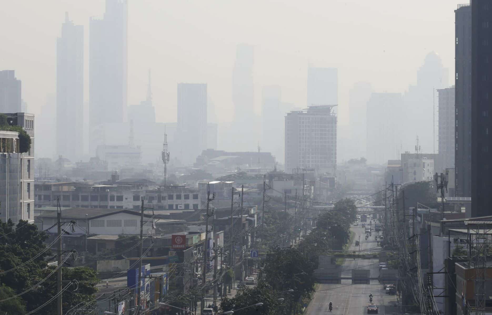
Dust and haze accumulation in the upper regions is moderate to high, with a tendency to increase due to weakening winds.
Weather forecast


In the north, expect cool to cold mornings with fog and hot afternoons, with temperatures ranging from 14 to 21 degrees Celsius (°C) in the morning to 34 to 37°C in the afternoon.
Mountain peaks will be cold to very cold, with frost in some areas and temperatures ranging from 5 to 15°C. Southwest winds will blow at 5 to 15 kilometres per hour (km/h).
In the northeast, cool to cold conditions with light morning fog and hot afternoons are expected, with temperatures ranging from 15 to 21°C in the morning to 34 to 36°C in the afternoon.
Mountain peaks will be cold with temperatures between 10 and 15°C, accompanied by east winds at 10 to 20 km/h.
In the central region, cool mornings with fog and hot afternoons are forecasted, with morning temperatures between 20 and 23°C and afternoon temperatures between 36 and 37°C. East winds will blow at 10 to 15 km/h.
In the east, cool mornings with fog and hot afternoons are predicted. Temperatures are expected to range from 21 to 25°C in the morning to 33 to 38°C in the afternoon. East winds will blow at 10 to 30 km/h, and the sea will have waves below 1 metre, but offshore waves may reach around 1 metre.
In the south (east coast), 10% of the area is expected to experience thunderstorms, mainly in Yala and Narathiwat provinces. Morning temperatures will range from 21 to 24°C and afternoon temperatures from 32 to 35°C. East winds will range from 15 to 30 km/h, with sea waves about 1 metre high, and over 1 metre in thunderstorm areas.
In the south (west coast), partly cloudy skies and hot afternoons are expected, with light rain in some areas. Morning temperatures will range from 23 to 26°C, and afternoon temperatures from 33 to 36°C. East winds will range from 10 to 30 km/h, with sea waves below 1 metre and reaching around 1 metre offshore, reported KhaoSod.
In Bangkok and surrounding areas, expect fog in the morning and hot afternoons, with morning temperatures between 23 and 25°C and afternoon temperatures between 35 and 38°C. East winds will blow at 10 to 15 km/h.
Latest Thailand News


Follow The Thaiger on Google News: