Heavy rain alert for 33 provinces in Thailand as temperatures drop
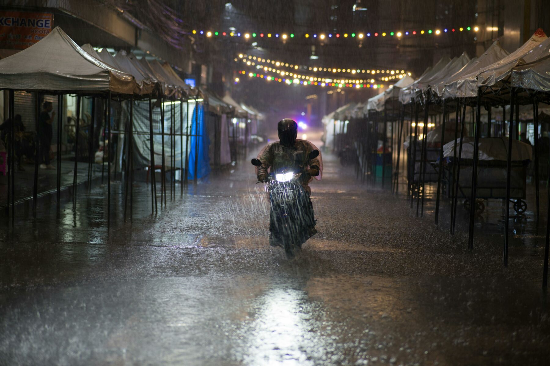
Weather warnings have been issued for 33 provinces in Thailand, forecasting heavy rain covering 30% of areas due to a new wave of cold air bringing strong winds and a significant temperature drop expected tomorrow, November 2.
From November 2 to 5, the Meteorological Department of Thailand (TMD) indicates moderate to relatively strong high-pressure system from China is expected to extend over upper Thailand and the South China Sea. This will bring thunderstorms and gusty winds initially before temperatures drop.
The north and northeast are likely to see a temperature decrease of 2 to 4 degrees Celsius (°C), while the central region, including Bangkok and its vicinity, the east, and the upper south will experience a drop of 1 to 3°C. Meanwhile, the monsoon trough passing through the middle south will cause heavy to very heavy rain in some southern areas.
The weather forecast indicates cool mornings in the north, with rain in 10% of the area, mainly in Mae Hong Son, Tak, Phitsanulok, and Phetchabun provinces. Temperatures will range from 21 to 24°C at the lowest and 33 to 35°C at the highest, with westerly winds blowing at 10 to 15 kilometres per hour (km/h).
In the northeast, cool mornings are expected in the upper region, with thunderstorms in 10% of the area, primarily in Chaiyaphum, Nakhon Ratchasima, Buriram, and Surin provinces. Temperatures will be between 21 and 24°C at the minimum and 32 to 34°C at the maximum, with northeasterly winds of 10 to 25 km/h.
The central region will see thunderstorms in 20% of the area, largely in Kanchanaburi, Lopburi, Saraburi, Nakhon Pathom, Ratchaburi, Samut Songkhram, and Samut Sakhon provinces. Temperatures will range from 24 to 26°C at the lowest and 34 to 35°C at the highest, with westerly winds blowing at 10 to 20 km/h.
Cooler mornings


The eastern region is anticipated to have thunderstorms covering 30% of the area, mostly in Sa Kaeo, Chon Buri, Rayong, Chanthaburi, and Trat provinces. Temperatures will range from 24 to 26°C at the minimum and 32 to 34°C at the maximum, with northwesterly winds of 15 to 30 km/h. The sea will have waves about 1 metre high, rising to more than 2 metres in thunderstorm zones.
In the south (east coast), thunderstorms are expected in 40% of the area, with heavy rain in some places, mainly in Phetchaburi, Prachuap Khiri Khan, Nakhon Si Thammarat, Phatthalung, Songkhla, Yala, Pattani, and Narathiwat provinces. Temperatures will range from 23 to 25°C at the lowest and 33 to 34°C at the highest, with northwesterly winds of 15 to 30 km/h. The sea will have waves around 1 metre high, increasing to 2 metres offshore and in thunderstorm zones.
In the south (west coast), thunderstorms will occur in 20% of the area, mostly in Ranong, Phang Nga, Trang, and Satun provinces. Temperatures will be between 24 and 26°C at the minimum and 32 to 34°C at the maximum, with northwesterly winds of 15 to 30 km/h. The sea will have waves about 1 metre high, rising to more than 2 metres in thunderstorm zones.
Bangkok and its vicinity will experience thunderstorms in 30% of the area, with temperatures ranging from 25 to 26°C at the lowest and 33 to 35°C at the highest, with westerly winds blowing at 10 to 20 km/h.
Latest Thailand News


Follow The Thaiger on Google News: