‘Matmo’ will bring floods to upper and central Thailand

Thundershowers will bring rain to northern, lower-central and eastern Thailand, including the capital and its suburbs over the next few days, according to the Meteorological Department. The south will also see isolated heavy rains.
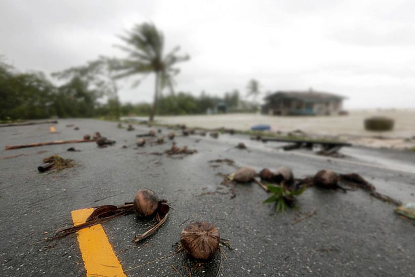
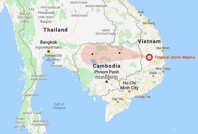
The department is warning that a category 2 depression over the South China Sea has become a tropical storm, named Matmo (below). At 4am on October 30, it was 300 kilometres east of Vietnam. It is expected to make landfall over central Vietnam today, then move through Cambodia, weakening, before bringing rains to lower northeast, lower central, eastern and upper southern Thailand. Flash flooding and heavy rains can be expected.
The forecast for the October 31 is as follows…
Northern region: Partly cloudy with thundershowers, lows of 21-24 degrees and highs of 31-37, with temperatures likely to drop to 11-15 degrees on hilltops
Northeastern region: Partly cloudy with isolated thundershowers in 20% of the area, lows of 21-24 degrees and highs of 32-34. Likely to drop to 13-15 degrees on hilltops
Central region: Partly cloudy with scattered thundershowers; lows of 23-25 degrees, highs of 34-36.
Eastern region: Mostly cloudy with thundershowers; lows of 23-26, highs of 33-36; wave height 1 metre.
Southern region (Gulf coast): Cloudy with thundershowers and heavy rains in 60% of the area; lows of 23-25, highs of 31-33 degrees. Wave height 1-2 metres, increasing to 2 metres during storms.
Southern region (Andaman coast): Cloudy with thundershowers and heavy rains in 40% of the area; lows of 22-24 degrees and highs of 32-35; wave height 1 metre, increasing to 1-2 metres during storms.
Bangkok and surrounding area: Partly cloudy with thundershowers in 30% of the area, lows 25-26; highs 34-37.

Latest Thailand News
Follow The Thaiger on Google News:


