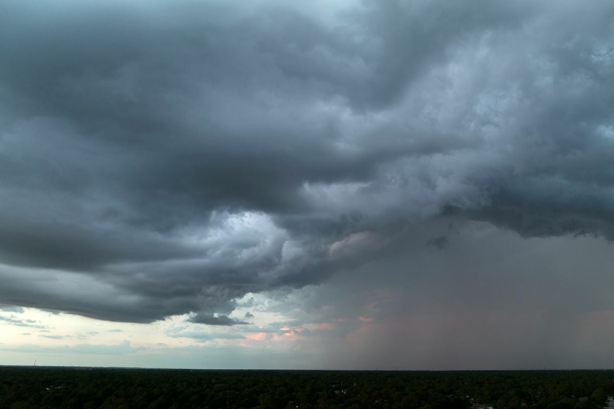
Thailand braces for heavy rain and strong winds, warns TMD

The Department of Meteorology (TMD) issued its 13th announcement, revealing that numerous provinces are set to be impacted by heavy rainfall today and tomorrow September 28-29. Strong winds, flash floods, and forest run-offs are expected in many areas. High waves are anticipated in the sea today.
The announcement focused on the low-pressure area covering the western part of the northern region of Thailand, while a trough of monsoon is passing over the upper part of the country. This situation will result in heavy rain in the northern, northeastern, and central, including Bangkok and its vicinity, eastern and southern regions. There will be very heavy rain in some areas during today and tomorrow.
The TMD warned Thai citizens to be cautious of dangers from very heavy rain and strong winds in some areas, which could result in flash floods and forest run-offs, particularly in areas on hill slopes, near waterways, and in basins. Motorists are also advised to be cautious while driving through rainstorms and avoid staying in open areas, under large trees, and weak advertising signs.
The provinces expected to have heavy to very heavy rain in some areas include the following:
Today, the northern region includes: Mae Hong Son, Chiang Mai, Chiang Rai, Lamphun, Lampang, Phayao, Phrae, Uttaradit, Sukhothai, Tak, Kamphaeng Phet, Phichit, Phitsanulok, and Phetchabun provinces.
The northeastern region includes: Loei, Nong Khai, Nong Bua Lamphu, Udon Thani, Chaiyaphum, Khon Kaen, and Nakhon Ratchasima provinces.
The central region includes: Nakhon Sawan, Uthai Thani, Chai Nat, Sing Buri, Ang Thong, Phra Nakhon Si Ayutthaya, Kanchanaburi, Suphan Buri, Ratchaburi, Nakhon Pathom, Samut Songkhram, and Samut Sakhon provinces, including Bangkok and its vicinity.


The eastern region includes: Nakhon Nayok, Prachin Buri, Sa Kaeo, Chachoengsao, Chonburi, Rayong, Chanthaburi, and Trat provinces. The southern region includes Phetchaburi, Prachuap Khiri Khan, Ranong, and Phang Nga provinces.
Tomorrow, the northern region includes: Mae Hong Son, Chiang Mai, Lamphun, Lampang, Sukhothai, Tak, Kamphaeng Phet, Phichit, Phitsanulok, and Phetchabun provinces.
The northeastern region includes: Loei, Nong Bua Lamphu, and Chaiyaphum provinces. The central region includes the Nakhon Sawan, Uthai Thani, Kanchanaburi, and Ratchaburi provinces.
The eastern region includes: Chanthaburi and Trat provinces. The southern region includes Ranong province.
During today and tomorrow, the southwestern monsoon is quite strong over the Andaman Sea, the south, and the Gulf of Thailand. This causes the Andaman Sea’s upper part to have waves 2-3 metres high.
In the area with thunderstorms, the waves are more than 3 metres high. The lower part of the Andaman Sea and the upper part of the Gulf of Thailand have waves about 2 metres high.
In the area with thunderstorms, the waves are more than 2 metres high. Mariners are warned to navigate with caution and avoid areas with thunderstorms. Small boats in the upper part of the Andaman Sea should remain ashore during the mentioned days and times.
The public is urged to follow the announcements from the Department of Meteorology and can access the information on the TMD website http://www.tmd.go.th or call 0-2399-4012-13 and 1182 24 hours a day.
The weather announcement was made today at 5am. The TMD will issue the next announcement today at 5pm, reports Khaosod Online.
Follow more of The Thaiger’s latest stories on our new Facebook page HERE.
Latest Thailand News


Follow The Thaiger on Google News: