UPDATE: Latest information about Philippines earthquakes – four dead
Here’s the latest from this morning’s series of earthquakes in the northern Philippines.
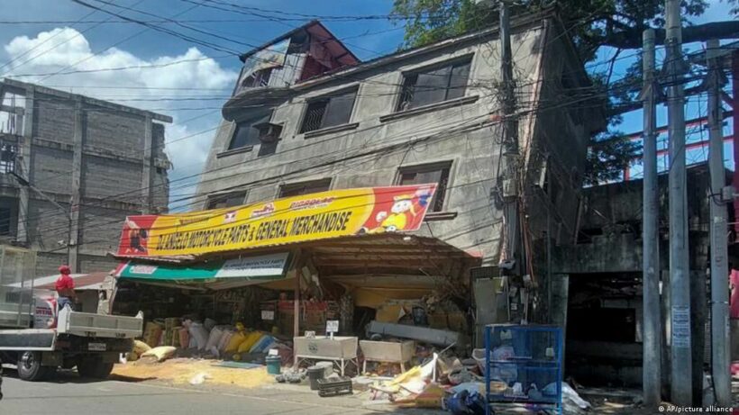
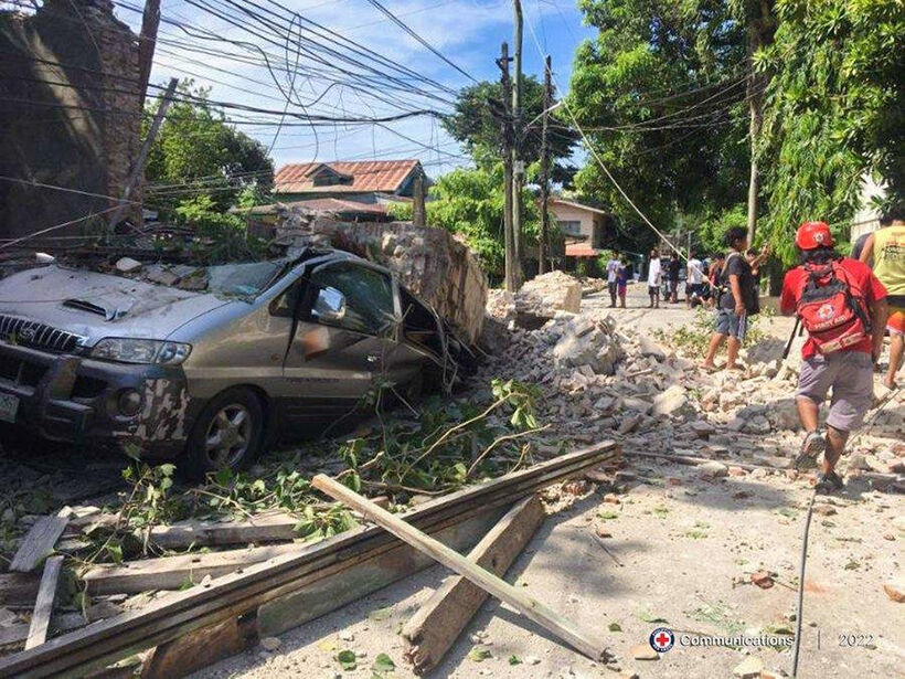
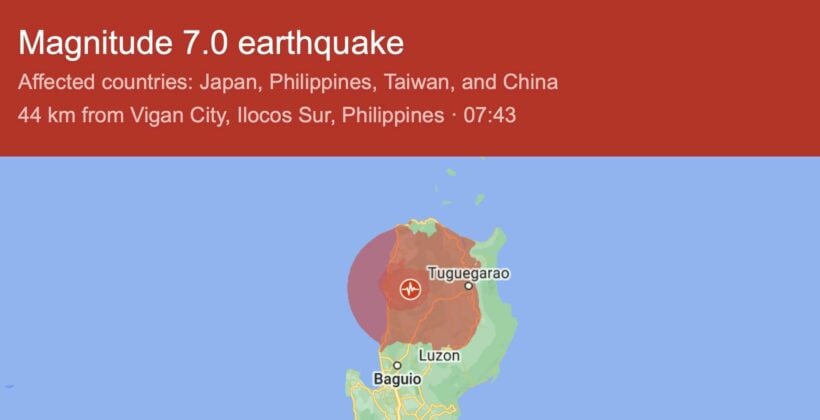
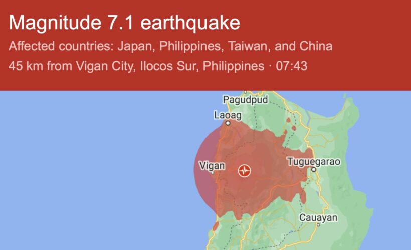
The most prominent shake today was a 7.1-magnitude earthquake that rocked the northern Philippines Wednesday morning, Filipino time. The tremor shattered windows of buildings in the central Abra province and shook office buildings more than 300 kilometres to the north in the capital of Manila.
Four people have now been reported as being killed as a result of the earthquake. Another 60 have been injured – two people died in the Benguet province, another in Abra province, plus one other whose location wasn’t announced this morning.
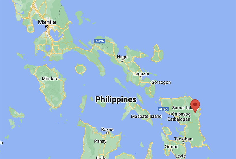
The quake hit the sparsely populated province of Abra, located on the main island of Luzon at 8.43am, local time, reaching a magnitude of 6.8 – 7.1, depending on the measurements received by instruments in the area.
In the town of Dolores, the episcopal-centre of the quake, people were running around outside their houses and offices. Video from the area shows cracked roads, overflowing pools, public transport trains being shaken around, and cracks in buildings.
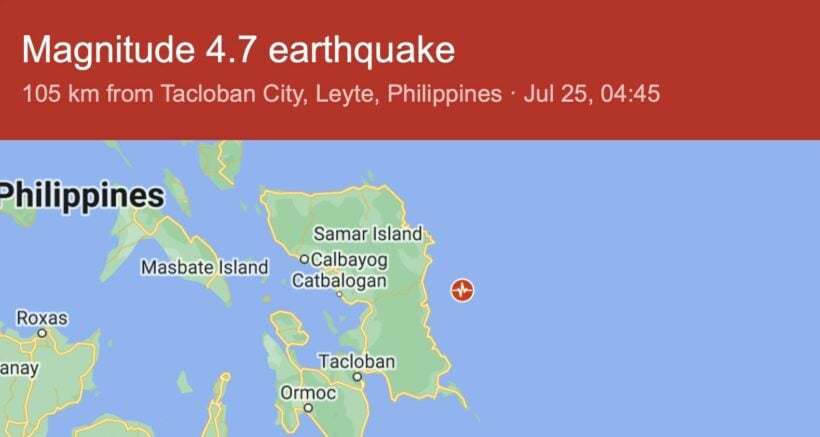
There were four tremors in the northern half of the Philippines this morning. Here’s some video shot in the town of Delores during the time of the tremor.
The Philippines is located along fault lines in the Pacific Ocean’s “Ring of Fire.” This morning’s quake was the strongest recorded in the Philippines in years.
In October 2013, a magnitude 7.1 earthquake struck Bohol Island in the central Philippines, killing over 200 people.
In 1990, a magnitude 7.8 earthquake in the northern Philippines created a ground rupture stretching over a hundred kilometres and killing over 1,200 people.
Latest Thailand News
Follow The Thaiger on Google News:
