Thailand braces for thunderstorms and high waves in 37 provinces
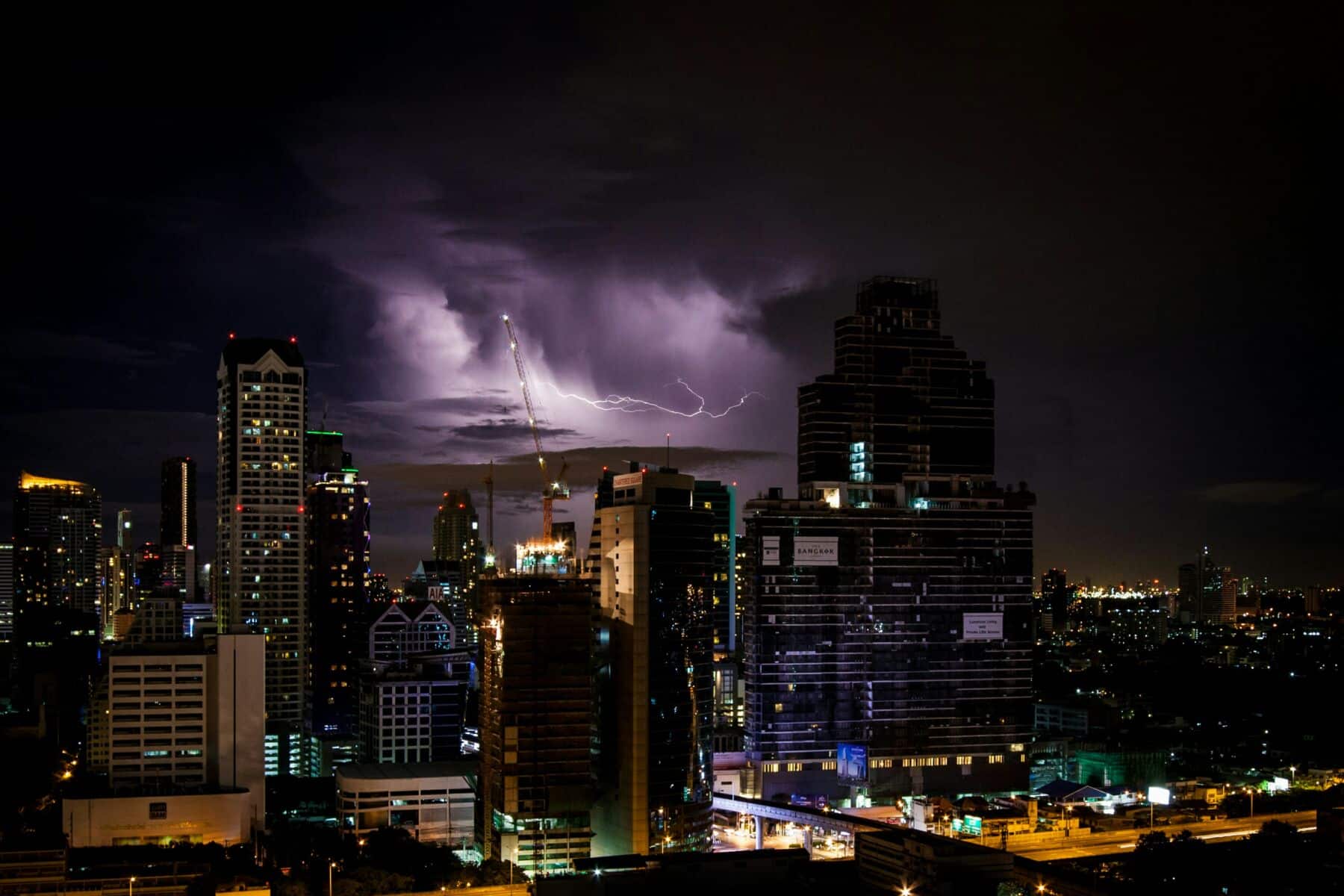
The Thai Meteorological Department (TMD) has issued a warning about unstable weather conditions affecting 37 provinces in Thailand, with thunderstorms expected. Bangkok is also forecasted to experience the same conditions, while waves exceeding 3 metres are predicted in the sea.
Today, February 22, the TMD provided a 24-hour weather forecast. Easterly and southeasterly winds are bringing moisture from the South China Sea and the Gulf of Thailand, affecting the eastern and central regions, including Bangkok and its vicinity. Concurrently, westerly winds are covering the northern region and the western part of the central region.
These conditions contribute to the possibility of thunderstorms in the upper part of the country, with hot weather during the day in the north, central region, as well as Bangkok and its vicinity. Residents in these areas are advised to take care of their health due to changing weather conditions and to be cautious of thunderstorms. Farmers should also prepare to protect their crops from potential damage.
The moderate intensity of the northeastern and easterly monsoon winds covering the Gulf of Thailand, the southern region, and the Andaman Sea is resulting in scattered thunderstorms in the south. In the lower Gulf of Thailand, waves are expected to reach around 2 metres, increasing to more than 2 metres in areas with thunderstorms.
Mariners in the Gulf of Thailand and the Andaman Sea are urged to navigate carefully and avoid areas with thunderstorms.
From February 23 to February 25, a high-pressure system or moderately to strongly cold air mass from China is expected to spread over the northeastern region and the South China Sea. This will result in southerly and southeasterly winds bringing moisture over the upper parts of Thailand, while a westerly wind wave from Myanmar will move through the north, the upper northeast, and into northern Laos.
Weather forecast


The north of Thailand will experience hot weather, leading to unstable conditions such as thunderstorms, lightning, strong winds, and sporadic hail in the northern and northeastern regions initially. Temperatures will then decline.
In the south, rainfall is expected to increase with heavy showers in some areas, while the lower Gulf of Thailand will experience strong sea conditions with waves between 2 to 3 metres, and more than 3 metres in thunderstorm-prone areas. Dust accumulation in the upper part of the country ranges from moderate to high levels, with a tendency to increase due to weakening winds and reduced rainfall in certain areas.
In the northern region, expect cool mornings with fog and hot afternoons. Thunderstorms are anticipated in 30% of the area, especially in Mae Hong Son, Lampang, Phayao, Phrae, Nan, Sukhothai, Uttaradit, Kamphaeng Phet, Tak, Phitsanulok, and Phichit.
Temperatures will range from 16°C to 36°C, with mountaintops experiencing colder conditions at 7°C to 15°C.
The northeastern region will have cool mornings with 10% of the area, primarily in Loei and Chaiyaphum, experiencing thunderstorms. Temperatures will range from 19°C to 35°C, with mountaintops cooler at 12°C to 17°C.
In the central region, expect hot weather with thunderstorms in 30% of the area, mainly in Uthai Thani, Suphan Buri, Kanchanaburi, Ratchaburi, Nakhon Pathom, Samut Songkhram, and Samut Sakhon. Temperatures will range from 23°C to 36°C, with southeasterly winds at 10 to 15 kilometres per hour.
The eastern region will experience thunderstorms in 20% of the area, especially in Chon Buri, Rayong, Chanthaburi, and Trat. Temperatures will range from 24°C to 35°C, with southeasterly winds at 10 to 30 kilometres per hour. The sea will have waves under 1 metre, rising to more than 2 metres in thunderstorms.
In the southern region (east coast), thunderstorms are expected in 30% of the area, mainly in Phetchaburi, Prachuap Khiri Khan, Chumphon, Surat Thani, Nakhon Si Thammarat, Phatthalung, and Songkhla.
Temperatures will range from 23°C to 34°C, with winds from the southeast at 15 to 35 kilometres per hour north of Surat Thani and 20 to 35 kilometres per hour south of Nakhon Si Thammarat. The sea will have waves of 1 to 2 metres, rising to more than 2 metres in thunderstorms.
The southern region (west coast) will see thunderstorms in 30% of the area, mainly in Ranong, Phang Nga, Phuket, and Krabi.
Temperatures will range from 23°C to 35°C, with easterly winds at 15 to 30 kilometres per hour. The sea will have waves around 1 metre, rising to about 2 metres in thunderstorms, reported KhaoSod.
Bangkok and its vicinity will experience hot weather with thunderstorms in 30% of the area, with temperatures ranging from 24°C to 35°C.
Latest Thailand News


Follow The Thaiger on Google News: