Thailand heatwave: Extreme temperatures and storms expected

The Thai Meteorological Department (TMD) has forecasted extreme heat, with the northern region experiencing temperatures exceeding 40°C. Additionally, there is a risk of thunderstorms in nine southern provinces, with high waves expected at sea.
Yesterday, March 24, the TMD predicted weather conditions for the next 24 hours. Northern Thailand will see rising temperatures, with widespread heat and haze, and some areas experiencing extreme heat due to low atmospheric pressure from heat covering the region.
Residents are advised to take care of their health and avoid outdoor activities during extended periods of heat.

The TMD also issued a 15-day forecast for accumulated rainfall, advising preparation for the upcoming summer storm.
The easterly and southeasterly winds over the Gulf of Thailand, the South, and the Andaman Sea are currently weak, resulting in less rainfall in the South.
Waves in the Gulf of Thailand and the Andaman Sea are expected to reach about 1 metre in height, and more than 1 metre in areas with thunderstorms. Mariners are advised to proceed cautiously and avoid areas with thunderstorms.
The current weather conditions contribute to a significant accumulation of dust and haze in upper Thailand due to weaker winds.


Weather forecast
In the north, temperatures are expected to range from 18-24°C at the lowest to 35-40°C at the highest, with southwesterly winds at 10-15 km/h.
The northeast will experience general heat and haze with temperatures between 18-23°C at the lowest and 36-38°C at the highest, with easterly winds at 10-15 km/h.
The central region will see general heat and haze, with temperatures ranging from 22-24°C at the lowest to 37-39°C at the highest, accompanied by southeasterly winds at 10-15 km/h.
Eastern Thailand will have general heat and haze, with temperatures from 24-27°C at the lowest to 33-39°C at the highest, and southeasterly winds at 15-30 km/h, with sea waves reaching about 1 metre.
The eastern coast of the south will experience thunderstorms in 10% of the area, mainly in Songkhla, Pattani, Yala, and Narathiwat, with temperatures from 22-25°C at the lowest to 34-35°C at the highest, and southeasterly winds at 15-30 km/h.
The sea will have waves around 1 metre, increasing to over 1 metre in thunderstorm areas.
The western coast of the South will have thunderstorms in 10% of the area, primarily in Krabi, Trang, Satun, Phang Nga, and Phuket, with temperatures from 24-26°C at the lowest to 34-35°C at the highest, and easterly winds at 15-30 km/h. Sea waves will be about 1 metre, increasing to over 1 metre offshore and over 2 metres in thunderstorm areas.
Bangkok and its vicinity will experience general heat and haze, with temperatures ranging from 25-27°C at the lowest to 37-39°C at the highest, and southeasterly winds at 10-20 km/h, reported KhaoSod.
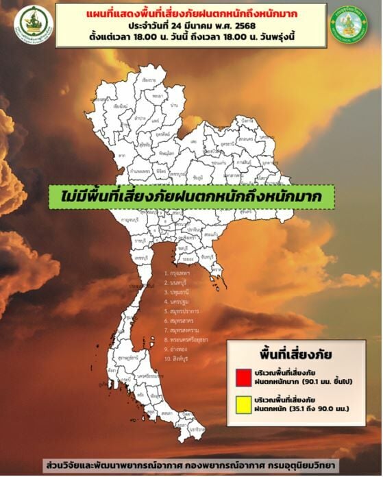
The TMD also revealed a risk map for severe rainfall yesterday, March 24, from 6pm to 6pm the following day, indicating no severe rainfall risk areas in Thailand.
Latest Thailand News


Follow The Thaiger on Google News: