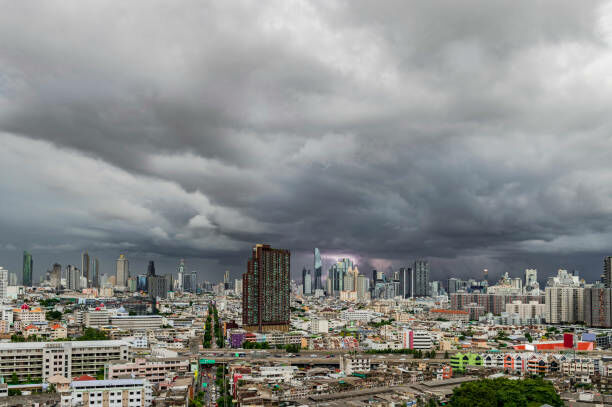
Thailand grapples with severe PM2.5 dust pollution impacting 53 provinces

The Geo-Informatics and Space Technology Development Agency (GISTDA) reported this morning that 53 provinces across Thailand grapple with detrimental health impacts due to PM2.5 dust pollution. Don Mueang district in Bangkok is suffering the most, registering the highest levels of this harmful particulate matter.
According to GISTDA’s report from yesterday, there were 310 heat spots detected throughout the country by 8am today
GISTDA, a part of the Ministry of Higher Education, Science, Research and Innovation, is closely monitoring the situation in partnership with the National Research Council of Thailand, the Pollution Control Department, Kasetsart University, and Chiang Mai University. The team is tracking PM2.5 levels hourly with satellite data and the Check Dust application.
The report revealed that 53 provinces have dust levels exceeding the standard, with 25 provinces in the red zone, indicating a high impact on health. The top five provinces affected are Bangkok (Don Mueang district), Thonburi, Bang Kho Laem, Ang Thong, and Chai Nat, with PM2.5 density levels of 181.2, 141.4, 134.2, 122.5, and 121 micrograms per cubic metre respectively.
In addition, 28 provinces have registered dust levels in the orange zone, which signifies a starting impact on health. In Bangkok, 34 districts are in the red zone, with the top five being Don Mueang, Lak Si, Sai Mai, Bang Khen, and Nong Khaem.
The Check Dust application forecasts PM2.5 levels for the next three hours, predicting that many areas will remain in the orange zone. This application uses satellite technology coupled with artificial intelligence to analyse PM2.5 levels every hour across the country. It utilises data from the Pollution Control Department, weather data from the Meteorological Department of Thailand, and information about dust sources such as heat spots.
GISTDA yesterday reported 310 heat spots across the country, most of which were in agricultural areas (136 spots), followed by specific areas (72 spots), national reserved forests (47 spots), communities and other areas (38 spots), conserved forests (13 spots), and roadside areas (four spots). The provinces with the highest number of heat spots were Lopburi (36 spots), Kalasin (18 spots), and Surin (17 spots).
Among neighbouring countries, Cambodia had the most heat spots (1,516), followed by Myanmar (270), Vietnam (228), and Laos (181).
Public health authorities recommend wearing masks at all times outdoors to protect against the potential health effects of the dust, particularly respiratory diseases. The public can follow hourly updates on PM2.5 levels via the Check Dust application, reported KhaoSod.
Latest Thailand News
Follow The Thaiger on Google News:


