Thailand braces for summer storms and temperature drop

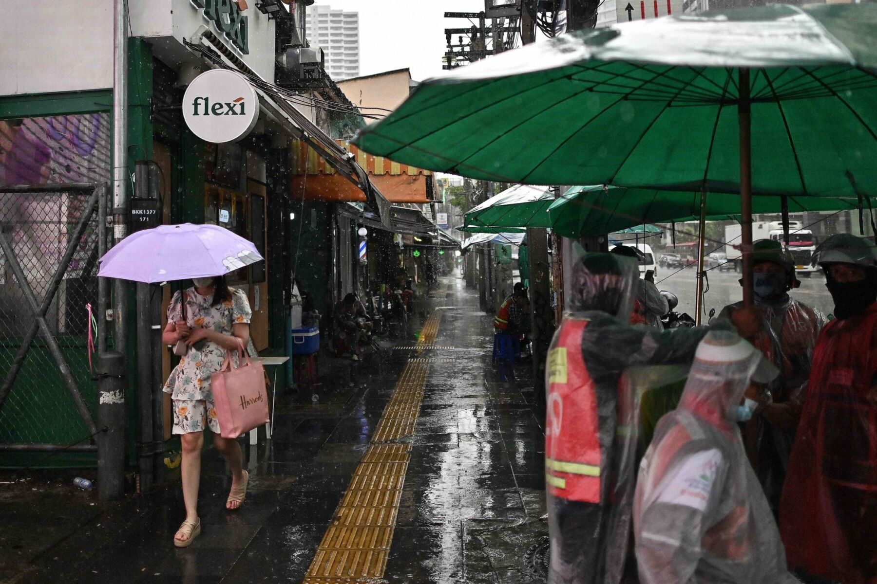
Thailand’s Meteorological Department (TMD) has issued a second announcement warning of severe weather conditions, including summer storms with strong winds, hail, and lightning, followed by a significant temperature drop of up to 8°C in some areas.
According to the department, from March 16 to 20, northern Thailand will experience variable weather with thunderstorms, strong winds, and hail. Some regions may also experience lightning on March 16 and 17. Following these, temperatures in the northeastern region are expected to fall by 5-8°C, while other areas will see a decrease of 2-4°C.
These conditions are attributed to a strong high-pressure system or cold air mass from China that is expected to cover upper Thailand and the South China Sea. Concurrently, the weather in upper Thailand is predicted to be hot to very hot.
Residents in affected areas are advised to stay cautious of the impending summer storms, avoiding travel in areas with thunderstorms or open spaces, large trees, unstable structures, and billboards. Farmers should reinforce fruit trees and prepare to protect crops and livestock. Additionally, attention should be paid to health during these changing weather conditions.
March 16
- Northern Thailand: Nan, Uttaradit Phichit, Phitsanulok, and Phetchabun;
- Northeast Thailand: Loei, Khon Kaen, Maha Sarakham, Kalasin, Roi Et, Yasothon, Amnat Charoen, Chaiyaphum, Nakhon Ratchasima, Buriram, Surin, Sisaket, and Ubon Ratchathani;
- Central region: Nakhon Sawan, Chai Nat, Lop Buri, Saraburi, Sing Buri, Ang Thong, Ayutthaya, Suphan Buri, Ratchaburi, Nakhon Pathom, Samut Songkhram, and Samut Sakhon, including Bangkok and its vicinity; and
- East Thailand: Nakhon Nayok, Prachin Buri, Sa Kaeo, Chachoengsao, Chon Buri, Rayong, Chanthaburi, and Trat.
March 17
- Northern Thailand: Chiang Mai, Lamphun, Lampang, Phrae, Kamphaeng Phet, Sukhothai, and Tak;
- Central region: Uthai Thani, Suphan Buri, Kanchanaburi, Ratchaburi, Nakhon Pathom, Samut Songkhram, and Samut Sakhon, including Bangkok and its vicinity;
- East Thailand: Nakhon Nayok, Prachin Buri, Sa Kaeo, Chachoengsao, Chon Buri, Rayong, Chanthaburi, and Trat;
- South Thailand: Phetchaburi and Prachuap Khiri Khan.
From March 17 to 20, easterly and southeasterly winds are expected to intensify over the Gulf of Thailand, the South, and the Andaman Sea, leading to increased rainfall and heavy rain in some areas. The lower Gulf of Thailand will experience waves 2 to 3 metres high, while areas with thunderstorms may see waves exceeding 3 metres. The upper Gulf of Thailand and the Andaman Sea will have waves 1 to 2 metres high, with areas of thunderstorms seeing waves higher than 2 metres.


Residents in the South are advised to be cautious of heavy rain, and sailors in the Gulf of Thailand and the Andaman Sea should avoid sailing in areas with thunderstorms. Small boats should refrain from leaving the shore in the lower Gulf of Thailand and the Andaman Sea during this period, reported KhaoSod.
The public is encouraged to follow updates from the TMD, which are available on their website or by calling 0-2399-4012-13 and 1182, available 24 hours a day. The announcement was issued today, March 15, at 5am, with the next update scheduled for 5pm the same day.
Latest Thailand News


Follow The Thaiger on Google News: